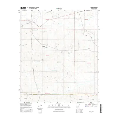
2014 Map of Strong
USGS Topo · Published 2014About this map
The Strong Oil Field and the Arkansas-Louisiana state line define this southern Union County landscape. The town of Strong sits at the intersection of the Strong Hwy and the local road network, serving as a hub for the surrounding timber and oil country. Evidence of the area's deep-rooted community structure is found in the high concentration of family and community burial grounds, such as Sweet Home Cem and Pilgrims Rest Cem. The terrain is deeply etched by a network of waterways including S Lapile Cr and the multiple branches of Frank Lapere Cr. Moving south toward the Arkansas Louisiana border, the landscape transitions into more remote territory near the Spring Hill Church and the smaller settlements of Victoria and Union. This survey provides a precise view of the rural infrastructure at the start of the 2010s, from the Jones Lake Cutoff to the scattered oil industry footprints.
Find a feature on this map
64 named features on this map. Tap any name to fly to it.
Don’t see what you’re looking for? This feature index may not catch every label — zoom into the map to look around manually.
Map Details
Editions of this 2014 Strong Map
This is the sole edition of this map. No revisions or reprints were ever made.
Other maps of this area

1933 · Strong
USGS Topo · 1:62,500

1934 · Felsenthal
USGS Topo · 1:62,500

1935 · Haile
USGS Topo · 1:62,500

1937 · Strong
USGS Topo · 1:62,500

1937 · Felsenthal
USGS Topo · 1:62,500

1938 · Felsenthal
USGS Topo · 1:62,500

1939 · Felsenthal
USGS Topo · 1:62,500

1939 · Strong
USGS Topo · 1:62,500

1952 · Farmerville
USGS Topo · 1:62,500

1953 · El Dorado
USGS Topo · 1:250,000