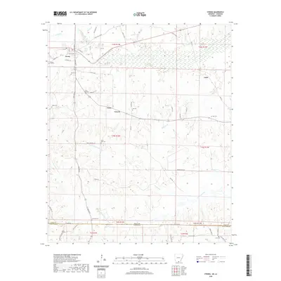
2020 Map of Strong
USGS Topo · Published 2020About this map
Strong serves as the primary hub for this timber and farm-laden landscape along the Arkansas-Louisiana border. The settlement pattern is defined by rural road networks like Aurelle Rd and Oakland Rd, which connect small hamlets such as Victoria and Union. This area is characterized by a high density of rural burial grounds, including the Pilgrims Rest Cem, Pratt-Dobbs Cem, and Good Hope Cem, reflecting a long history of family and community identity in the timberlands. The terrain is deeply carved by drainage systems, most notably South Lapile Creek in the north and the complex forks of Frank Lapere Cr further south. These waterways dictate the winding paths of rural routes like Jones Lake Cutoff and Gantz Cutoff, which weave between low-lying wetlands and the slightly higher ground where the region's farms and cemeteries are located.
Find a feature on this map
61 named features on this map. Tap any name to fly to it.
Don’t see what you’re looking for? This feature index may not catch every label — zoom into the map to look around manually.
Map Details
Editions of this 2020 Strong Map
This is the sole edition of this map. No revisions or reprints were ever made.
Other maps of this area

1933 · Strong
USGS Topo · 1:62,500

1934 · Felsenthal
USGS Topo · 1:62,500

1935 · Haile
USGS Topo · 1:62,500

1937 · Strong
USGS Topo · 1:62,500

1937 · Felsenthal
USGS Topo · 1:62,500

1938 · Felsenthal
USGS Topo · 1:62,500

1939 · Felsenthal
USGS Topo · 1:62,500

1939 · Strong
USGS Topo · 1:62,500

1952 · Farmerville
USGS Topo · 1:62,500

1953 · El Dorado
USGS Topo · 1:250,000