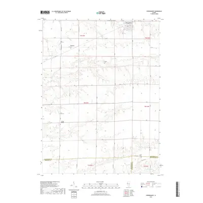
2018 Map of Stronghurst
USGS Topo · Published 2018About this map
Stronghurst serves as the primary hub in this corner of Western Illinois, where the local economy and geography are defined by the intricate creek systems feeding toward the Mississippi. This survey captures a landscape punctuated by small, established communities and ancestral burial grounds like Maple Grove Cem near Decorra and Peasley Cem to the south. The southern edge of the map reveals a complex intersection of county lines, where Henderson, Hancock, and McDonough counties meet near the headwaters of the La Moine River.
Find a feature on this map
27 named features on this map. Tap any name to fly to it.
Don’t see what you’re looking for? This feature index may not catch every label — zoom into the map to look around manually.
Map Details
Editions of this 2018 Stronghurst Map
This is the sole edition of this map. No revisions or reprints were ever made.
Other maps of this area

1918 · La Harpe
USGS Topo · 1:62,500

1932 · Lomax
USGS Topo · 1:62,500

1934 · Oquawka
USGS Topo · 1:48,000

1934 · Burlington
USGS Topo · 1:48,000

1937 · Lomax
USGS Topo · 1:62,500

1940 · Oquawka
USGS Topo · 1:62,500

1940 · Burlington
USGS Topo · 1:62,500

1958 · Burlington
USGS Topo · 1:250,000

1961 · Burlington
USGS Topo · 1:250,000

1963 · Burlington
USGS Topo · 1:250,000