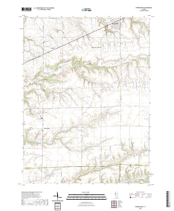
2024 Map of Stronghurst
USGS Topo · Published 2024About this map
Stronghurst and the rural townships of Henderson County are defined by a rhythmic grid of country roads and winding creek bottoms. This landscape is a patchwork of agricultural history and small family settlements, where the terrain transitions from the upland village of Stronghurst down toward the La Moine River in the south. The map documents several significant local landmarks for genealogists and local historians, including Maple Grove Cem and Peasley Cem. Smaller hamlets like Decorra and Terre Haute are situated among a dense network of watercourses such as Honey Creek, Dugout Creek, and Nichols Run. The intersection of multiple county lines, including the corners of Hancock and McDonough counties, highlights the jurisdictional shifts in this western Illinois region, while naming specific local routes like Evans Feedlot Rd and Gene Fox Rd provides granular detail for modern researchers.
Find a feature on this map
36 named features on this map. Tap any name to fly to it.
Don’t see what you’re looking for? This feature index may not catch every label — zoom into the map to look around manually.
Map Details
Editions of this 2024 Stronghurst Map
This is the sole edition of this map. No revisions or reprints were ever made.
Other maps of this area

1918 · La Harpe
USGS Topo · 1:62,500

1932 · Lomax
USGS Topo · 1:62,500

1934 · Oquawka
USGS Topo · 1:48,000

1934 · Burlington
USGS Topo · 1:48,000

1937 · Lomax
USGS Topo · 1:62,500

1940 · Oquawka
USGS Topo · 1:62,500

1940 · Burlington
USGS Topo · 1:62,500

1958 · Burlington
USGS Topo · 1:250,000

1961 · Burlington
USGS Topo · 1:250,000

1963 · Burlington
USGS Topo · 1:250,000