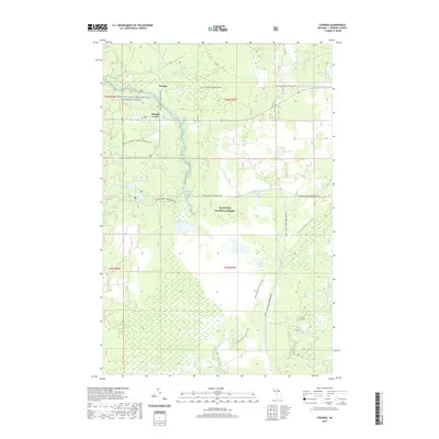
2019 Map of Strongs
USGS Topo · Published 2019About this map
The settlement of Strongs and nearby Strongs Corner anchor the northern section of this map, situated within the dense wetlands and woodlands of the Hiawatha National Forest. This region of the Upper Peninsula is defined by an intricate network of water and wilderness, where the Branch Tahquamenon Wild and Scenic River and the headwaters of the Pine River flow through vast marshes. Small glacial features like Whitmarsh Lake, Arbutus Lake, and the clustered Rice Lakes are interspersed with low-lying bogs.
Find a feature on this map
32 named features on this map. Tap any name to fly to it.
Don’t see what you’re looking for? This feature index may not catch every label — zoom into the map to look around manually.
Map Details
Editions of this 2019 Strongs Map
This is the sole edition of this map. No revisions or reprints were ever made.
Other maps of this area

1931 · Epoufette NE
USGS Topo · 1:31,680

1941 · Strongs
USGS Topo · 1:63,360

1951 · Strongs
USGS Topo · 1:24,000

1951 · McNearney Lake
USGS Topo · 1:24,000

1951 · Pendills Lake
USGS Topo · 1:24,000

1951 · Piatt Lake
USGS Topo · 1:24,000

1951 · Sullivan Creek
USGS Topo · 1:24,000

1951 · Eckerman
USGS Topo · 1:24,000

1951 · Strongs
USGS Topo · 1:62,500

1951 · Eckerman
USGS Topo · 1:62,500