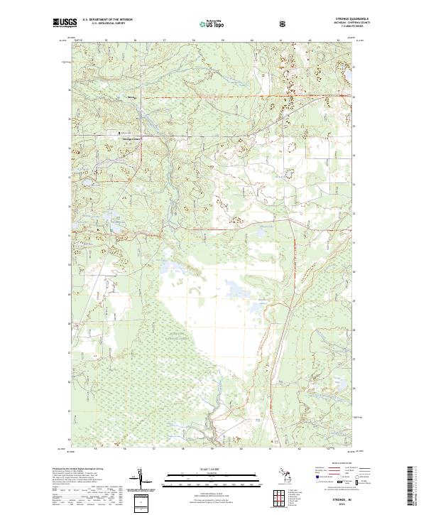
2023 Map of Strongs
USGS Topo · Published 2023About this map
Strongs and Strongs Corner anchor this portion of the Upper Peninsula, situated within the sprawling wetlands and timberlands of the Hiawatha National Forest. The landscape is defined by its complex hydrology, dominated by the East Branch Tahquamenon Wild and Scenic River and a dense network of smaller water bodies including Rice Lakes, Arbutus Lake, and the remote Betchler Lakes. For genealogists and local historians, the Coburn Cem stands as a primary point of interest near the northern settlements.
Find a feature on this map
33 named features on this map. Tap any name to fly to it.
Don’t see what you’re looking for? This feature index may not catch every label — zoom into the map to look around manually.
Map Details
Editions of this 2023 Strongs Map
This is the sole edition of this map. No revisions or reprints were ever made.
Other maps of this area

1931 · Epoufette NE
USGS Topo · 1:31,680

1941 · Strongs
USGS Topo · 1:63,360

1951 · Strongs
USGS Topo · 1:24,000

1951 · McNearney Lake
USGS Topo · 1:24,000

1951 · Pendills Lake
USGS Topo · 1:24,000

1951 · Piatt Lake
USGS Topo · 1:24,000

1951 · Sullivan Creek
USGS Topo · 1:24,000

1951 · Eckerman
USGS Topo · 1:24,000

1951 · Strongs
USGS Topo · 1:62,500

1951 · Eckerman
USGS Topo · 1:62,500