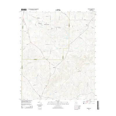
2014 Map of Strouds
USGS Topo · Published 2014About this map
Strouds and Horns Crossroads anchor this landscape where the boundaries of Lamar, Monroe, and Upson counties converge. This 2014 survey reflects a rural Georgia Piedmont character, defined by family-named cemeteries and small community clusters like Redbone and Brent. The terrain is carved by the headwaters of Little Tobesofkee Cr and Echeconnee Cr, with several small impoundments such as Pierson Lake and Pippin Lake scattered throughout the drainage basins.
Find a feature on this map
67 named features on this map. Tap any name to fly to it.
Don’t see what you’re looking for? This feature index may not catch every label — zoom into the map to look around manually.
Map Details
Editions of this 2014 Strouds Map
This is the sole edition of this map. No revisions or reprints were ever made.
Other maps of this area

1951 · Yatesville
USGS Topo · 1:62,500

1951 · Forsyth
USGS Topo · 1:62,500

1951 · Barnesville
USGS Topo · 1:62,500

1953 · Atlanta
USGS Topo · 1:250,000

1953 · Athens
USGS Topo · 1:250,000

1955 · Phenix City
USGS Topo · 1:250,000

1956 · Bolingbroke
USGS Topo · 1:62,500

1957 · Phenix City
USGS Topo · 1:250,000

1957 · Macon
USGS Topo · 1:250,000

1957 · Atlanta
USGS Topo · 1:250,000