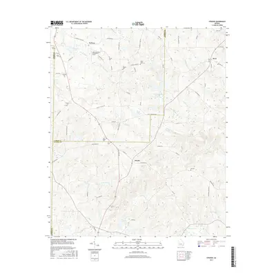
2017 Map of Strouds
USGS Topo · Published 2017About this map
The intersection of Lamar, Monroe, and Upson counties creates a landscape of deeply engraved creek valleys and family-held landholdings. Small settlements such as Strouds and Redbone anchor the rural road network, while the northeastern corner is defined by the community of Brent. The area is notably dense with family and community burial grounds, including the Sheran-Horne-Smith Cem, Harris Cem, and Sardis Cem, providing significant detail for those researching the region's lineage.
Find a feature on this map
69 named features on this map. Tap any name to fly to it.
Don’t see what you’re looking for? This feature index may not catch every label — zoom into the map to look around manually.
Map Details
Editions of this 2017 Strouds Map
This is the sole edition of this map. No revisions or reprints were ever made.
Other maps of this area

1951 · Yatesville
USGS Topo · 1:62,500

1951 · Forsyth
USGS Topo · 1:62,500

1951 · Barnesville
USGS Topo · 1:62,500

1953 · Atlanta
USGS Topo · 1:250,000

1953 · Athens
USGS Topo · 1:250,000

1955 · Phenix City
USGS Topo · 1:250,000

1956 · Bolingbroke
USGS Topo · 1:62,500

1957 · Phenix City
USGS Topo · 1:250,000

1957 · Macon
USGS Topo · 1:250,000

1957 · Atlanta
USGS Topo · 1:250,000