
1916 Map of Stryker
USGS Topo · Published 1916About this map
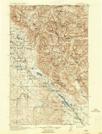
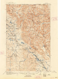
The Great Northern railroad corridor dictates the settlement pattern of this northern Montana landscape, connecting the small trackside communities of Stryker, Trego, Radnor, and Olney. Situated just south of the United States-Canada Boundary Line, the region is divided between the Blackfeet National Forest and the Flathead National Forest. This 1916 edition reveals a network of early administrative outposts necessary for managing the timber and terrain, including the Bunchgrass Ranger Station, Fortine Ranger Station, and Dog Creek Ranger Station. Education in these isolated valley communities was anchored by local institutions like Glen Lake School and Therriault School. Beyond the rail line, the topography rises into the Whitefish Ridge and features notable peaks such as Nasukoin Mtn and Mt Marston. Grounded data from the International Boundary Commission and surveyors like R.H. Chapman illustrate the complex drainages of the Stillwater River and Tobacco River.
Find a feature on this map
105 named features on this map. Tap any name to fly to it.
Don’t see what you’re looking for? This feature index may not catch every label — zoom into the map to look around manually.
Map Details
Editions of this 1916 Stryker Map
3 editions found
Other maps of this area

1906 · Kintla Lakes
USGS Topo · 1:125,000

1913 · Stryker
USGS Topo · 1:125,000

1920 · Jennings
USGS Topo · 1:125,000

1935 · Thompson Lakes
USGS Topo · 1:96,000

1938 · Kintla Lakes
USGS Topo · 1:125,000

1942 · Thompson Lakes
USGS Topo · 1:125,000

1943 · Kalispell
USGS Topo · 1:125,000

1957 · Kalispell
USGS Topo · 1:250,000

1960 · Kalispell
USGS Topo · 1:250,000

1961 · Kalispell
USGS Topo · 1:250,000