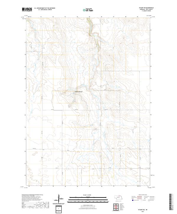
2021 Map of Stuart NE
USGS Topo · Published 2021About this map
Wilson Ranch sits at the heart of this North Central Nebraska landscape, where the drainage systems of Big Sandy Cr and Beaver Cr define the rolling topography. The area is characterized by a sparse ranching economy and a systematic grid of section roads, including 472nd Ave and 887th Rd, that navigate the sandhills-edge terrain. Smaller watercourses like Springs Cr and Conway Br feed into the larger creek beds, illustrating the vital water sources required for livestock operations in Holt County. This survey provides a precise view of modern property boundaries and land management divisions just north of the Niobrara River valley, showing how the landscape remains dominated by large-scale ranching and intermittent seasonal streams.
Find a feature on this map
27 named features on this map. Tap any name to fly to it.
Don’t see what you’re looking for? This feature index may not catch every label — zoom into the map to look around manually.
Map Details
Editions of this 2021 Stuart NE Map
This is the sole edition of this map. No revisions or reprints were ever made.
Other maps of this area

1951 · Butte SW
USGS Topo · 1:24,000

1951 · Dustin
USGS Topo · 1:24,000

1951 · Naper SW
USGS Topo · 1:24,000

1954 · Stuart
USGS Topo · 1:24,000

1954 · Atkinson
USGS Topo · 1:24,000

1954 · Stuart SE
USGS Topo · 1:24,000

1954 · Stuart NW
USGS Topo · 1:24,000

1954 · Atkinson NW
USGS Topo · 1:24,000

1954 · Stuart NE
USGS Topo · 1:24,000

1955 · O'Neill
USGS Topo · 1:250,000