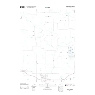
2013 Map of Stuart North
USGS Topo · Published 2013About this map
The S Raccoon River and Middle Raccoon River wind through this central Iowa landscape, creating a network of drainage including Beaver Cr and Deer Cr. The city of Stuart occupies the southern edge of the map, centered around the historic White Pole Rd and 350th St corridor. This area reflects a blend of traditional agricultural grid layouts and more modern developments, most notably at Diamondhead Lake, where a dense residential street network surrounds the water body in contrast to the surrounding section lines.
Find a feature on this map
97 named features on this map. Tap any name to fly to it.
Don’t see what you’re looking for? This feature index may not catch every label — zoom into the map to look around manually.
Map Details
Editions of this 2013 Stuart North Map
This is the sole edition of this map. No revisions or reprints were ever made.
Other maps of this area

1949 · Adel
USGS Topo · 1:62,500

1951 · Adel
USGS Topo · 1:62,500

1952 · Panora
USGS Topo · 1:62,500

1952 · Winterset
USGS Topo · 1:62,500

1954 · Greenfield
USGS Topo · 1:62,500

1954 · Omaha
USGS Topo · 1:250,000

1957 · Omaha
USGS Topo · 1:250,000

1958 · Omaha
USGS Topo · 1:250,000

1982 · Guthrie Center East
USGS Topo · 1:24,000

1982 · Panora
USGS Topo · 1:24,000