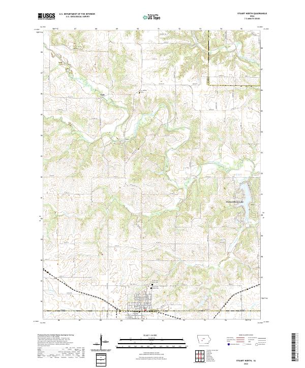
2022 Map of Stuart North
USGS Topo · Published 2022About this map
Stuart anchors the southern edge of this West Central Iowa landscape, situated along the border of Guthrie and Adair counties. The terrain is defined by the winding paths of the South Raccoon River and the Middle Raccoon River, which cut through the undulating plains alongside smaller tributaries like Beaver Cr and Deer Cr. Near the historic settlement of Morrisburg, the Morrisburg Cem remains as a local landmark, while the North Oak Grove Cem and South Oak Grove Cem are located just north of Stuart.
Find a feature on this map
84 named features on this map. Tap any name to fly to it.
Don’t see what you’re looking for? This feature index may not catch every label — zoom into the map to look around manually.
Map Details
Editions of this 2022 Stuart North Map
This is the sole edition of this map. No revisions or reprints were ever made.
Other maps of this area

1949 · Adel
USGS Topo · 1:62,500

1951 · Adel
USGS Topo · 1:62,500

1952 · Panora
USGS Topo · 1:62,500

1952 · Winterset
USGS Topo · 1:62,500

1954 · Greenfield
USGS Topo · 1:62,500

1954 · Omaha
USGS Topo · 1:250,000

1957 · Omaha
USGS Topo · 1:250,000

1958 · Omaha
USGS Topo · 1:250,000

1982 · Guthrie Center East
USGS Topo · 1:24,000

1982 · Panora
USGS Topo · 1:24,000