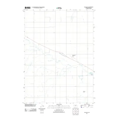
2011 Map of Stuart SE
USGS Topo · Published 2011About this map
The Elkhorn River meanders across this rural Nebraska landscape, defining the character of Holt County during this 2011 survey. Agricultural and municipal development is concentrated along the river corridor, most notably where the Atkinson Dam creates the Atkinson Reservoir near the eastern margin. The grid of country roads, including 881st Rd and 469 Ave, structures the vast open land between watercourses like Big Sandy Creek and Keegan Creek. Shared regional infrastructure is prominent here, particularly the Stuart-Atkinson Municipal Airport and the Atkinson-Stuart Golf Course, which serve the nearby communities. The map provides a detailed look at the drainage patterns and township divisions in a period of modern land management and regional connectivity.
Find a feature on this map
12 named features on this map. Tap any name to fly to it.
Don’t see what you’re looking for? This feature index may not catch every label — zoom into the map to look around manually.
Map Details
Editions of this 2011 Stuart SE Map
This is the sole edition of this map. No revisions or reprints were ever made.
Other maps of this area

1954 · Stuart
USGS Topo · 1:24,000

1954 · Atkinson
USGS Topo · 1:24,000

1954 · Stuart SE
USGS Topo · 1:24,000

1954 · Stuart NW
USGS Topo · 1:24,000

1954 · Atkinson NW
USGS Topo · 1:24,000

1954 · Stuart NE
USGS Topo · 1:24,000

1955 · O'Neill
USGS Topo · 1:250,000

1959 · O'Neill
USGS Topo · 1:250,000

1964 · Emmet NW
USGS Topo · 1:24,000

1969 · O'Neill
USGS Topo · 1:250,000