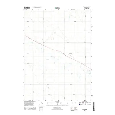
2014 Map of Stuart SE
USGS Topo · Published 2014About this map
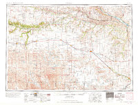
The Elkhorn River meanders across this portion of Holt County, defining a landscape of wide river valleys and prairie drainage systems. Parallel to the river’s course, the Cowboy Trl and Us-20 provide the primary east-west transportation corridor through this agricultural region. This 2014 survey documents the modern infrastructure of the Nebraska plains, including the Stuart-Atkinson Municipal Airport positioned centrally between the local communities. Water features such as Keegan Cr and Big Sandy Cr feed into the main river channel, while Atkinson Lake sits near the eastern edge of the quadrangle. The map is characterized by a strict grid of section roads, including 883rd Rd and 471st Ave, which partition the terrain into the systematic blocks typical of Great Plains land division.
Find a feature on this map
23 named features on this map. Tap any name to fly to it.
Don’t see what you’re looking for? This feature index may not catch every label — zoom into the map to look around manually.
Map Details
Editions of this 2014 Stuart SE Map
This is the sole edition of this map. No revisions or reprints were ever made.
Other maps of this area
1954 · Stuart
USGS Topo · 1:24,000
1954 · Atkinson
USGS Topo · 1:24,000
1954 · Stuart SE
USGS Topo · 1:24,000
1954 · Stuart NW
USGS Topo · 1:24,000
1954 · Atkinson NW
USGS Topo · 1:24,000
1954 · Stuart NE
USGS Topo · 1:24,000

1955 · O'Neill
USGS Topo · 1:250,000

1959 · O'Neill
USGS Topo · 1:250,000
1964 · Emmet NW
USGS Topo · 1:24,000
1969 · O'Neill
USGS Topo · 1:250,000