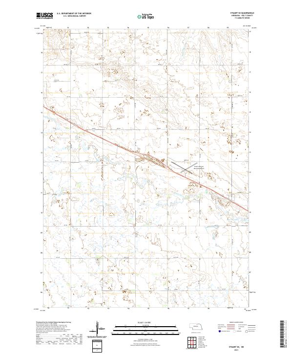
2021 Map of Stuart SE
USGS Topo · Published 2021About this map
The Elkhorn River meanders across this Holt County landscape, defining the character of the river valley as it transitions into the Nebraska sandhills. A significant transportation corridor follows the river's northern bank, anchored by the Cowboy Trl, a recreational rail-trail that repurposes a historic railroad alignment through the region. This modern survey illustrates the proximity of the Stuart-Atkinson Municipal Airport to the river, serving as a regional hub for the surrounding agricultural community. Water remains the primary geographical feature of the area, with Atkinson Lake providing a focal point in the southeast, fed by tributaries such as Big Sandy Cr and Keegan Cr. The map reveals a highly structured grid of section lines and local routes, including Carberry St and various numeric roads, reflecting the legacy of the Public Land Survey System.
Find a feature on this map
35 named features on this map. Tap any name to fly to it.
Don’t see what you’re looking for? This feature index may not catch every label — zoom into the map to look around manually.
Map Details
Editions of this 2021 Stuart SE Map
This is the sole edition of this map. No revisions or reprints were ever made.
Other maps of this area

1954 · Stuart
USGS Topo · 1:24,000

1954 · Atkinson
USGS Topo · 1:24,000

1954 · Stuart SE
USGS Topo · 1:24,000

1954 · Stuart NW
USGS Topo · 1:24,000

1954 · Atkinson NW
USGS Topo · 1:24,000

1954 · Stuart NE
USGS Topo · 1:24,000

1955 · O'Neill
USGS Topo · 1:250,000

1959 · O'Neill
USGS Topo · 1:250,000

1964 · Emmet NW
USGS Topo · 1:24,000

1969 · O'Neill
USGS Topo · 1:250,000