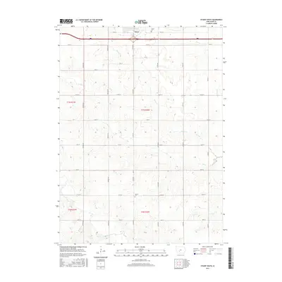
2015 Map of Stuart South
USGS Topo · Published 2015About this map
Stuart anchors the northern edge of this Iowa survey, where the landscape transitions from town grid to a dense network of sectional roads and watercourses. The drainage of the Middle River and the N River dominates the terrain, with smaller tributaries like Plunger Cr and Jim Cr carving through the agricultural landscape. Genealogists and local historians can locate burial sites at Calvary Cem just south of the town center, and Fairview Cem further south near Co Rd G27. The map illustrates a contemporary rural infrastructure defined by gravel and paved routes such as Sheldon Ave and York Ave, tracing the persistent boundaries of T77N and T76N. This layout reflects the long-standing land divisions and hydrological patterns that have shaped the rural development of the region south of the interstate corridor.
Find a feature on this map
30 named features on this map. Tap any name to fly to it.
Don’t see what you’re looking for? This feature index may not catch every label — zoom into the map to look around manually.
Map Details
Editions of this 2015 Stuart South Map
This is the sole edition of this map. No revisions or reprints were ever made.
Other maps of this area
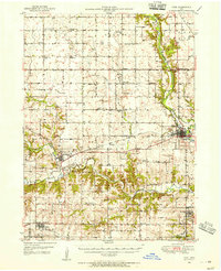
1949 · Adel
USGS Topo · 1:62,500
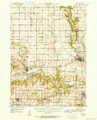
1951 · Adel
USGS Topo · 1:62,500
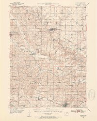
1952 · Panora
USGS Topo · 1:62,500
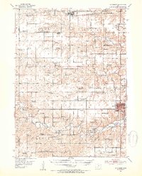
1952 · Winterset
USGS Topo · 1:62,500
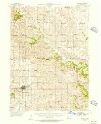
1954 · Greenfield
USGS Topo · 1:62,500
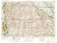
1954 · Omaha
USGS Topo · 1:250,000
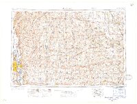
1957 · Omaha
USGS Topo · 1:250,000
1958 · Omaha
USGS Topo · 1:250,000
1982 · Redfield
USGS Topo · 1:24,000
1982 · Stuart North
USGS Topo · 1:24,000