
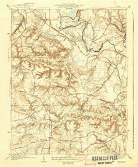
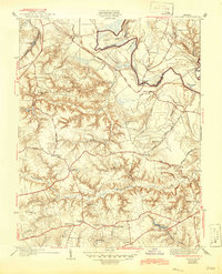
1938 Map of Studley
USGS Topo · Published 1938About this map
The Pamunkey River meanders along the northern and eastern borders of this Hanover County landscape, defining the boundaries of Sutton Neck and Crump Neck. The interior is defined by an intricate network of waterways, including Totopotomoy Creek and Matadequin Creek, which cut through the terrain near Pine Hill. Settlement patterns in the mid-1930s favored high ground along established routes like Hanover Road and Summer Hill Road, where small communities and crossroads such as Studley, Rural Point, and Hundleys Corner took root.
Find a feature on this map
41 named features on this map. Tap any name to fly to it.
Don’t see what you’re looking for? This feature index may not catch every label — zoom into the map to look around manually.
Map Details
Editions of this 1938 Studley Map
3 editions found
Other maps of this area

1894 · Richmond
USGS Topo · 1:62,500

1895 · Richmond
USGS Topo · 1:62,500

1918 · Doswell
USGS Topo · 1:62,500

1918 · Aylett
USGS Topo · 1:62,500

1920 · King William
USGS Topo · 1:62,500

1933 · Aylett
USGS Topo · 1:62,500

1934 · Seven Pines
USGS Topo · 1:24,000

1934 · Richmond
USGS Topo · 1:24,000

1938 · Seven Pines
USGS Topo · 1:31,680

1938 · Yellow Tavern
USGS Topo · 1:31,680