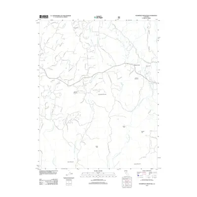
2012 Map of Stumpfield Mountain
USGS Topo · Published 2012About this map
The W Fork Chowchilla River, Middle Fork Chowchilla River, and E Fork Chowchilla River converge in this high-elevation terrain of Mariposa County, forming a complex watershed punctuated by prominent peaks. The settlement at Elliott Corner serves as a central point for a network of winding mountain roads, including Snow Creek Rd and Darrah Rd, which navigate the steep drainage basins of Owl Cr and Italian Cr.
Find a feature on this map
76 named features on this map. Tap any name to fly to it.
Don’t see what you’re looking for? This feature index may not catch every label — zoom into the map to look around manually.
Map Details
Editions of this 2012 Stumpfield Mountain Map
This is the sole edition of this map. No revisions or reprints were ever made.
Other maps of this area

1897 · Yosemite
USGS Topo · 1:125,000

1900 · Yosemite
USGS Topo · 1:125,000

1903 · Yosemite
USGS Topo · 1:125,000

1909 · Yosemite
USGS Topo · 1:125,000

1912 · Mariposa
USGS Topo · 1:125,000

1947 · Mariposa
USGS Topo · 1:24,000

1947 · Mariposa
USGS Topo · 1:250,000

1947 · El Portal
USGS Topo · 1:62,500

1947 · Mariposa
USGS Topo · 1:62,500

1947 · Buckingham Mtn
USGS Topo · 1:24,000