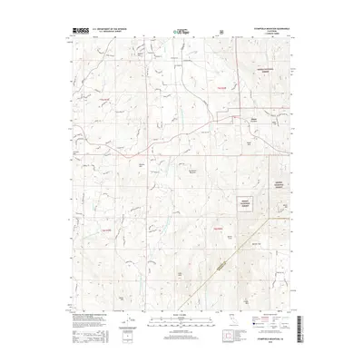
2015 Map of Stumpfield Mountain
USGS Topo · Published 2015About this map
Elliott Corner sits near the crossing of Highway 49 and the Middle Fork Chowchilla River, serving as a central point in this transition from lower foothills into the Sierra National Forest. The landscape is defined by the convergence of the West, Middle, and East Fork Chowchilla River, creating a deeply dissected topography of peaks and gaps. Notable summits such as Stumpfield Mountain, Indian Peak, and Butler Mountain rise above winding residential and forest roads, including Darrah Road and Usona Road. Landowners and local historians can trace the intricate network of canyons and ridges, from Metcalf Gap to Nelson Cove, illustrating the rugged rural character of the Mariposa and Madera County border region during the early 21st century.
Find a feature on this map
95 named features on this map. Tap any name to fly to it.
Don’t see what you’re looking for? This feature index may not catch every label — zoom into the map to look around manually.
Map Details
Editions of this 2015 Stumpfield Mountain Map
This is the sole edition of this map. No revisions or reprints were ever made.
Other maps of this area
1897 · Yosemite
USGS Topo · 1:125,000
1900 · Yosemite
USGS Topo · 1:125,000
1903 · Yosemite
USGS Topo · 1:125,000
1909 · Yosemite
USGS Topo · 1:125,000
1912 · Mariposa
USGS Topo · 1:125,000
1947 · Mariposa
USGS Topo · 1:24,000

1947 · Mariposa
USGS Topo · 1:250,000
1947 · El Portal
USGS Topo · 1:62,500
1947 · Mariposa
USGS Topo · 1:62,500
1947 · Buckingham Mtn
USGS Topo · 1:24,000