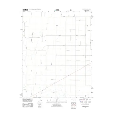
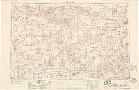
2012 Map of Sturgis
USGS Topo · Published 2012About this map
Sturgis serves as the focal point of this Cimarron County landscape, situated where several regional routes intersect in the High Plains. The terrain is defined by the drainage of Goff Cr, which meanders across the southern portion of the quadrangle. The survey captures a highly organized grid of rural roads, including Co Rd 54 and E0032 Rd, reflecting the systematic land division of the Oklahoma Panhandle. This layout illustrates a persistent agricultural economy dependent on groundwater and seasonal watercourses like Goff Cr. Because this survey was produced in 2012, it provides a precise modern baseline for researchers tracking the stability of small High Plains settlements and the evolution of the regional road network near the tri-state border region where Oklahoma meets Colorado and Kansas.
Find a feature on this map
44 named features on this map. Tap any name to fly to it.
Don’t see what you’re looking for? This feature index may not catch every label — zoom into the map to look around manually.
Map Details
Editions of this 2012 Sturgis Map
This is the sole edition of this map. No revisions or reprints were ever made.
Other maps of this area
1892 · Vilas
USGS Topo · 1:125,000

1954 · Perryton
USGS Topo · 1:250,000
1954 · Dalhart
USGS Topo · 1:250,000
1955 · La Junta
USGS Topo · 1:250,000
1955 · Dodge City
USGS Topo · 1:250,000

1958 · Perryton
USGS Topo · 1:250,000
1958 · La Junta
USGS Topo · 1:250,000
1958 · Dodge City
USGS Topo · 1:250,000
1958 · Dalhart
USGS Topo · 1:250,000
1959 · Dodge City
USGS Topo · 1:250,000