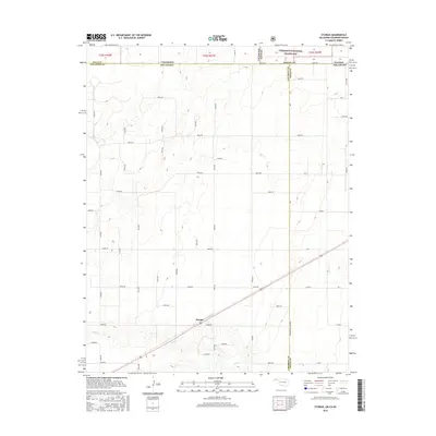
2016 Map of Sturgis
USGS Topo · Published 2016About this map
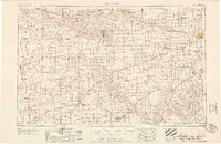
Sturgis serves as a central point of reference in the High Plains where the borders of Oklahoma, Kansas, and Colorado meet. This 2016 survey highlights a landscape organized by an extensive grid of section roads, including E0080 Rd and N0515 Rd, which support the region's agricultural character. The topography is defined by the drainage of Goff Cr, which cuts diagonally across the southern portion of the quadrangle. To the north, the protected landscape of the Cimarron National Grassland spans the state line, preserving a portion of the shortgrass prairie. The map provides a precise look at the multi-state boundary intersections involving Baca Co, Morton Co, and Cimarron Co, illustrating how political jurisdictions were layered over this expansive terrain.
Find a feature on this map
62 named features on this map. Tap any name to fly to it.
Don’t see what you’re looking for? This feature index may not catch every label — zoom into the map to look around manually.
Map Details
Editions of this 2016 Sturgis Map
This is the sole edition of this map. No revisions or reprints were ever made.
Other maps of this area
1892 · Vilas
USGS Topo · 1:125,000

1954 · Perryton
USGS Topo · 1:250,000
1954 · Dalhart
USGS Topo · 1:250,000
1955 · La Junta
USGS Topo · 1:250,000
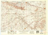
1955 · Dodge City
USGS Topo · 1:250,000

1958 · Perryton
USGS Topo · 1:250,000
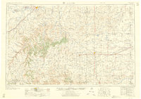
1958 · La Junta
USGS Topo · 1:250,000
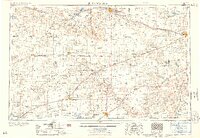
1958 · Dodge City
USGS Topo · 1:250,000
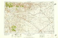
1958 · Dalhart
USGS Topo · 1:250,000
1959 · Dodge City
USGS Topo · 1:250,000