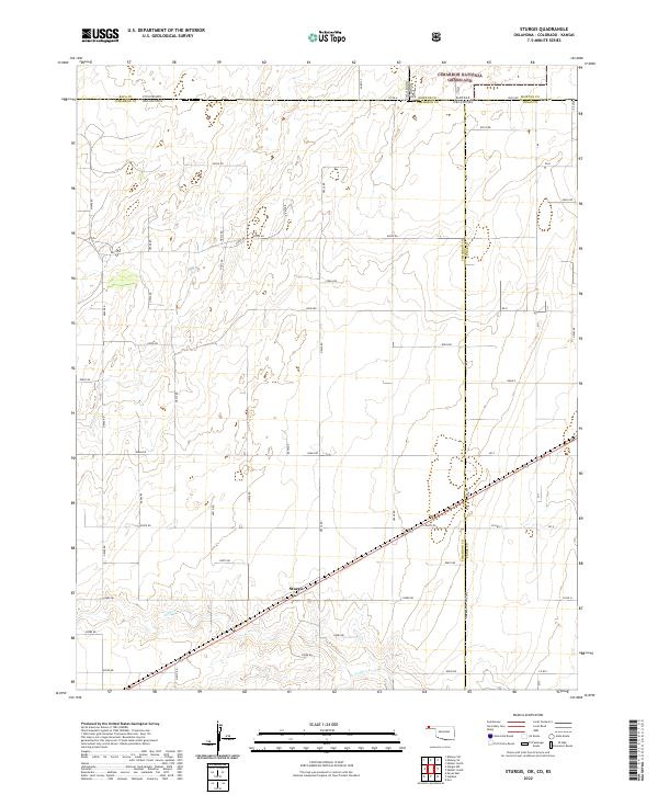
2022 Map of Sturgis
USGS Topo · Published 2022About this map
Sturgis sits at a critical geographic junction in the Oklahoma Panhandle, where the high plains meet the intricate borders of Colorado and Kansas. This survey captures a remote landscape defined by the drainage of Goff Cr and the vast protected expanse of the Cimarron National Grassland in the northern portion of the quadrangle. The map documents the persistent grid of section roads, such as Co Rd A and E0070 Rd, that organize the ranching and agricultural operations across Cimarron and Texas counties. The intersection of state lines and the presence of Co Hwy 7 highlight the area's role as a transit corridor through the tri-state region. This modern topographic record provides a clear view of the sparse but resilient settlement patterns in one of the most geographically isolated corners of the southern Great Plains.
Find a feature on this map
54 named features on this map. Tap any name to fly to it.
Don’t see what you’re looking for? This feature index may not catch every label — zoom into the map to look around manually.
Map Details
Editions of this 2022 Sturgis Map
This is the sole edition of this map. No revisions or reprints were ever made.
Other maps of this area

1892 · Vilas
USGS Topo · 1:125,000

1954 · Perryton
USGS Topo · 1:250,000

1954 · Dalhart
USGS Topo · 1:250,000

1955 · La Junta
USGS Topo · 1:250,000

1955 · Dodge City
USGS Topo · 1:250,000

1958 · Perryton
USGS Topo · 1:250,000

1958 · La Junta
USGS Topo · 1:250,000

1958 · Dodge City
USGS Topo · 1:250,000

1958 · Dalhart
USGS Topo · 1:250,000

1959 · Dodge City
USGS Topo · 1:250,000