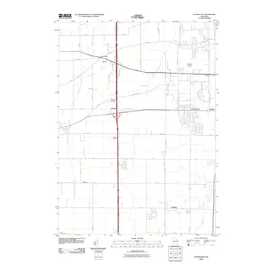
2010 Map of Sturtevant
USGS Topo · Published 2010About this map
Sturtevant and the surrounding Racine County countryside appear in this 2010 survey as a transition between established settlements and the expanding infrastructure of the Interstate 94 corridor. The map details a landscape defined by its agricultural roots and modern industrial shifts, with the settlement of Waxdale tucked on the eastern edge and the community of Somers to the south. Waterways like the East Branch Root River Canal and Pike River suggest the drainage patterns that have historically supported the region's farms and later developments.
Find a feature on this map
27 named features on this map. Tap any name to fly to it.
Don’t see what you’re looking for? This feature index may not catch every label — zoom into the map to look around manually.
Map Details
Editions of this 2010 Sturtevant Map
This is the sole edition of this map. No revisions or reprints were ever made.
Other maps of this area

1891 · Bayview
USGS Topo · 1:62,500

1891 · Muskego
USGS Topo · 1:62,500

1892 · Racine
USGS Topo · 1:62,500

1893 · Silver Lake
USGS Topo · 1:62,500

1901 · Bayview
USGS Topo · 1:62,500

1901 · Muskego
USGS Topo · 1:62,500

1905 · Racine
USGS Topo · 1:62,500

1906 · Silver Lake
USGS Topo · 1:62,500

1954 · Rockford
USGS Topo · 1:250,000

1955 · Rockford
USGS Topo · 1:250,000