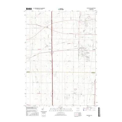
2016 Map of Sturtevant
USGS Topo · Published 2016About this map
Sturtevant and the surrounding Racine County agricultural lands are captured here in a moment of suburban expansion and transportation development. The landscape is defined by the intersection of major thoroughfares and rail corridors, including the established community of Somers and the industrial area of Waxdale. Genealogical interests are well-represented by several burial grounds, including West Lawn Memorial Cem, Sylvania Cem, and Paris Cem. The topography is relatively level, drained by the E Br Root River Canal and Pike River, which wind through the township grids. Aviation history is noted by the presence of Sylvania Airport near the community of Sylvania, while smaller locales like Ives Grove maintain their distinct geographic identity amidst the growing residential networks of Durand Ave and Washington Ave.
Find a feature on this map
61 named features on this map. Tap any name to fly to it.
Don’t see what you’re looking for? This feature index may not catch every label — zoom into the map to look around manually.
Map Details
Editions of this 2016 Sturtevant Map
This is the sole edition of this map. No revisions or reprints were ever made.
Other maps of this area

1891 · Bayview
USGS Topo · 1:62,500

1891 · Muskego
USGS Topo · 1:62,500

1892 · Racine
USGS Topo · 1:62,500

1893 · Silver Lake
USGS Topo · 1:62,500

1901 · Bayview
USGS Topo · 1:62,500

1901 · Muskego
USGS Topo · 1:62,500

1905 · Racine
USGS Topo · 1:62,500

1906 · Silver Lake
USGS Topo · 1:62,500

1954 · Rockford
USGS Topo · 1:250,000

1955 · Rockford
USGS Topo · 1:250,000