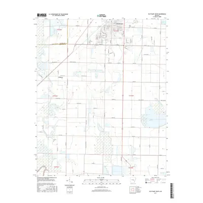
2017 Map of Stuttgart South
USGS Topo · Published 2017About this map
Agricultural development and water management define this portion of the Grand Prairie, where the city of Stuttgart extends southward across the Prairie Co Arkansas Co line. The map illustrates a landscape transitioned from open prairie to a complex system of rice production, marked by the presence of significant reservoirs like Tindall Reservoir, Daugherty Reservoir, and McDoogle Reservoir. These artificial water bodies, alongside the natural course of Bayou Meto and Elm Prong Mill Bayou, suggest the vital importance of irrigation to the local economy. Genealogists can locate several burial sites including Holy Rosary Cem E 10th Exd, Lone Tree Cem, and Sunshine Cem. Rural road networks like Ricusky Rd and Gregory Fischer Rd connect outlying homesteads and the small settlement of Goldman, reflecting a persistent pattern of family-named landholdings in this part of Arkansas.
Find a feature on this map
67 named features on this map. Tap any name to fly to it.
Don’t see what you’re looking for? This feature index may not catch every label — zoom into the map to look around manually.
Map Details
Editions of this 2017 Stuttgart South Map
This is the sole edition of this map. No revisions or reprints were ever made.
Other maps of this area

1935 · Clarendon
USGS Topo · 1:62,500

1937 · Stuttgart
USGS Topo · 1:62,500

1939 · Stuttgart
USGS Topo · 1:62,500

1941 · De Witt
USGS Topo · 1:62,500

1941 · Goldman
USGS Topo · 1:62,500

1941 · Clarendon
USGS Topo · 1:62,500

1948 · Helena
USGS Topo · 1:250,000

1950 · Helena
USGS Topo · 1:250,000

1954 · De Witt
USGS Topo · 1:62,500

1955 · Helena
USGS Topo · 1:250,000