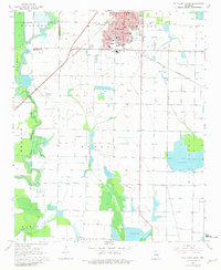
1968 Map of Stuttgart South
USGS Topo · Published 1981About this map
Stuttgart serves as the focal point of this late 1960s agricultural survey, its urban grid and industrial features like water tanks and a radio tower standing in contrast to the surrounding rice-growing country. The area is defined by a sophisticated water management network, including the Stuttgart King Bayou Ditch, numerous reservoirs, and flumes that support the local prairie landscape. Transportation is dominated by the St Louis Southwestern railroad, which cuts through the region near the settlement of Goldman. For researchers, the map provides precise locations for community centers such as St Johns Sch and Holy Rosary Cem, while the southern reaches near Townhall show the winding course of Henton Bayou. The landscape's transition from the built environment of Cain Park to the open tracts of Gum Pond and Morris illustrates the regional dependence on controlled irrigation and rail access.
Find a feature on this map
32 named features on this map. Tap any name to fly to it.
Don’t see what you’re looking for? This feature index may not catch every label — zoom into the map to look around manually.
Map Details
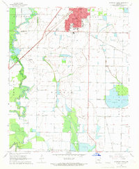
Editions of this 1968 Stuttgart South Map
2 editions found
Other maps of this area

1935 · Clarendon
USGS Topo · 1:62,500

1937 · Stuttgart
USGS Topo · 1:62,500

1939 · Stuttgart
USGS Topo · 1:62,500

1941 · De Witt
USGS Topo · 1:62,500

1941 · Goldman
USGS Topo · 1:62,500

1941 · Clarendon
USGS Topo · 1:62,500

1948 · Helena
USGS Topo · 1:250,000

1950 · Helena
USGS Topo · 1:250,000

1954 · De Witt
USGS Topo · 1:62,500

1955 · Helena
USGS Topo · 1:250,000