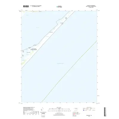
2019 Map of Styron Bay
USGS Topo · Published 2019About this map
Cape Lookout National Seashore dominates this coastal landscape, protecting a dynamic chain of barrier islands between Core Sound and the Atlantic Ocean. The map documents the fragile geography of the Outer Banks, specifically the Core Banks, where narrow ribbons of land like Ophelia Banks and Middle Core Banks are separated by shifting waterways. These maritime features, including New Drum Inlet and Ophelia Inlet, illustrate the constant state of change defining the North Carolina coast.
Find a feature on this map
22 named features on this map. Tap any name to fly to it.
Don’t see what you’re looking for? This feature index may not catch every label — zoom into the map to look around manually.
Map Details
Editions of this 2019 Styron Bay Map
This is the sole edition of this map. No revisions or reprints were ever made.
Other maps of this area
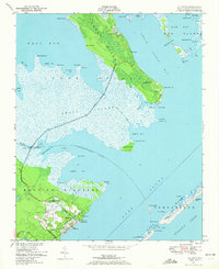
1949 · Atlantic
USGS Topo · 1:24,000
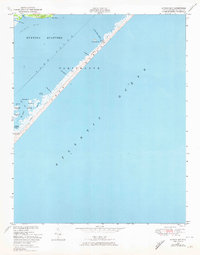
1949 · Styron Bay
USGS Topo · 1:24,000
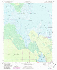
1949 · Long Bay
USGS Topo · 1:24,000
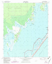
1949 · Davis
USGS Topo · 1:24,000
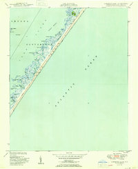
1950 · Horsepen Point
USGS Topo · 1:24,000
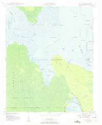
1950 · Long Bay
USGS Topo · 1:24,000
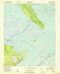
1951 · Atlantic
USGS Topo · 1:24,000
1951 · Davis
USGS Topo · 1:24,000
1951 · Styron Bay
USGS Topo · 1:24,000
1953 · Beaufort
USGS Topo · 1:250,000