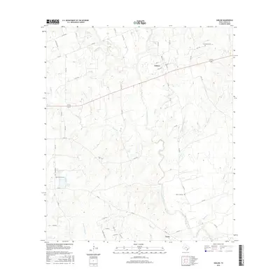
2016 Map of Sublime
USGS Topo · Published 2016About this map
The Navidad River and its intricate network of tributaries dominate this rural Lavaca County landscape, where small settlements are defined by their proximity to water and winding country roads. The community of Sublime sits in the northern portion of the map, centered at the intersection of Alt 90 and several local routes including Weller St and Oakland St. To the south, the settlement of Vienna marks a junction near the banks of Sandies Cr.
Find a feature on this map
54 named features on this map. Tap any name to fly to it.
Don’t see what you’re looking for? This feature index may not catch every label — zoom into the map to look around manually.
Map Details
Editions of this 2016 Sublime Map
This is the sole edition of this map. No revisions or reprints were ever made.
Other maps of this area

1919 · Schulenburg
USGS Topo · 1:62,500

1953 · Seguin
USGS Topo · 1:250,000

1956 · Glidden
USGS Topo · 1:62,500

1958 · Seguin
USGS Topo · 1:250,000

1962 · Sublime
USGS Topo · 1:24,000

1962 · Hallettsville SE
USGS Topo · 1:24,000

1962 · Hallettsville
USGS Topo · 1:24,000

1964 · Speaks
USGS Topo · 1:24,000

1964 · Ezzell
USGS Topo · 1:24,000

1965 · Oakland
USGS Topo · 1:24,000