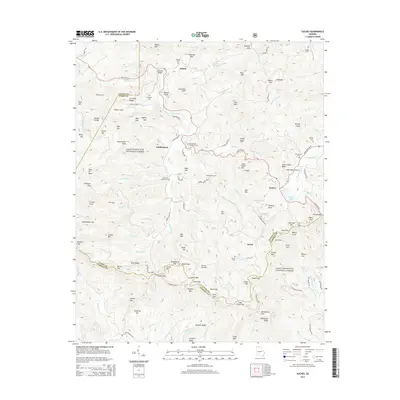
2014 Map of Suches
USGS Topo · Published 2014About this map
The Toccoa River flows through the northern reaches of this Georgia landscape, defining a network of coves and gaps within the Chattahoochee National Forest. This 2014 survey documents the communities of Suches, Gaddistown, Baxter, and Sarah, highlighting the intersection of Union, Fannin, and Lumpkin counties. The area is characterized by high-elevation landmarks such as Rocky Mtn and Greasy Mtn, with local travel routes like State Rte 60 and Old Hwy 76 winding through the terrain. Family history is etched into the land through numerous burial sites including Spriggs Cem, Corinth Cem, and Mt Pleasant Number 2 Cem. Modern infrastructure like the High Valley Airpark and the Woody Lake Dam exists alongside traditional landmarks like Cavender Bridge, illustrating the continued habitation and utility of these mountain gaps.
Find a feature on this map
144 named features on this map. Tap any name to fly to it.
Don’t see what you’re looking for? This feature index may not catch every label — zoom into the map to look around manually.
Map Details
Editions of this 2014 Suches Map
This is the sole edition of this map. No revisions or reprints were ever made.
Other maps of this area

1886 · Dahlonega
USGS Topo · 1:125,000

1888 · Ellijay
USGS Topo · 1:125,000

1892 · Dahlonega
USGS Topo · 1:125,000

1892 · Ellijay
USGS Topo · 1:125,000

1896 · Dahlonega
USGS Topo · 1:125,000

1898 · Ellijay
USGS Topo · 1:125,000

1903 · Dahlonega
USGS Topo · 1:125,000

1911 · Ellijay
USGS Topo · 1:125,000

1935 · Coosa Bald
USGS Topo · 1:24,000

1935 · Mulky Gap
USGS Topo · 1:24,000