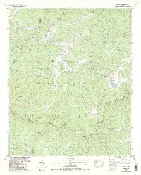
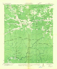
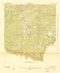
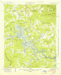
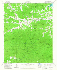
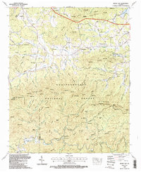
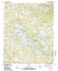
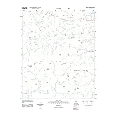
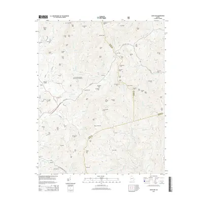
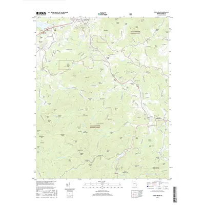
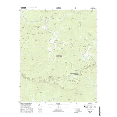
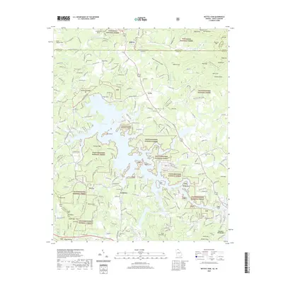
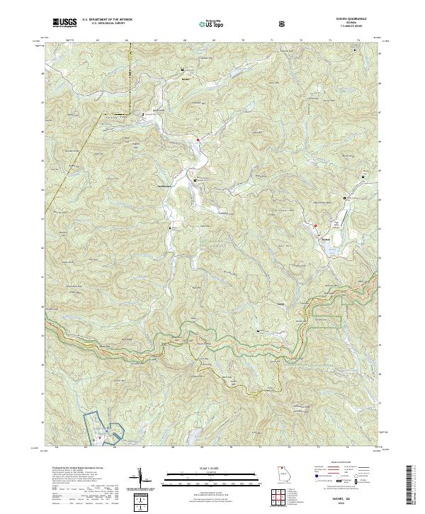
1988 Map of Suches
USGS Topo · Published 1991About this map
Chattahoochee National Forest encompasses the majority of this late-1980s mountain terrain, where the Blue Ridge divides the headwaters of the Toccoa River and the Etowah. The map records a landscape of high gaps and knobs, from Double Knobs in the northwest to the crossing of the Appalachian Trail at Sassafras Mountain. Deep in the southern valleys, the presence of Camp Merrill (U S Army) reflects the area's role in specialized military training. Small, long-standing settlements like Suches and Gaddistown are well-defined, alongside rural infrastructure such as Woody Gap High Sch and several country churches. Genealogists can find numerous family-named landmarks and burial sites, including Cavender Cem and Woody Cem, which anchor the history of the families that settled these high coves and ridges.
Find a feature on this map
129 named features on this map. Tap any name to fly to it.
Don’t see what you’re looking for? This feature index may not catch every label — zoom into the map to look around manually.
Map Details
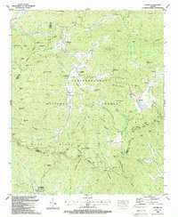
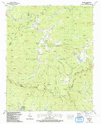
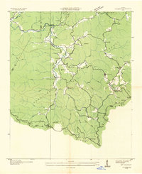
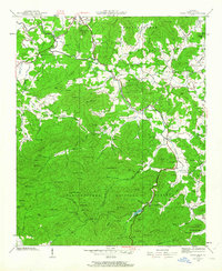
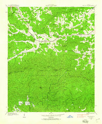
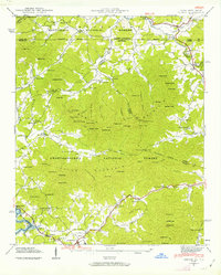
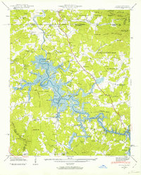
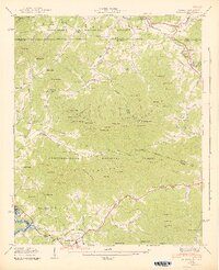
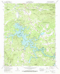
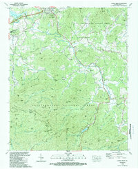
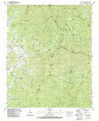
Editions of this 1988 Suches Map
3 editions found
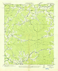
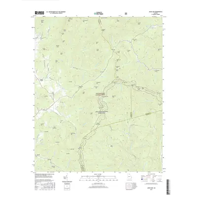
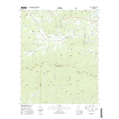
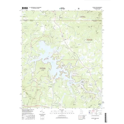
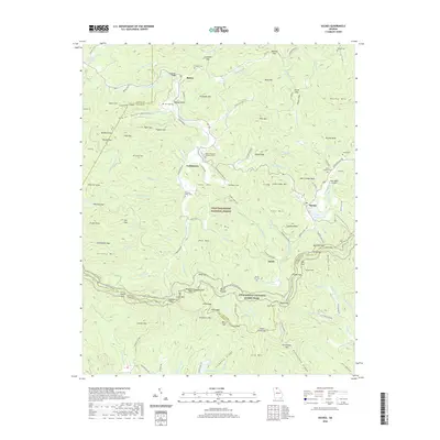
Historical Maps of Baxter Through Time
49 maps found

1935 Coosa Bald
Union County, GA
1935 Gumlog
Union County, GA

1935 Ivylog
Union County, GA

1935 Jacks Gap
Union County, GA
1935 Mulky Gap
Union County, GA
1935 Suches
Union County, GA
1938 Coosa Bald
Union County, GA

1938 Jacks Gap
Union County, GA
1938 Mulky Gap
Union County, GA
1938 Suches
Union County, GA
1941 Gumlog
Union County, GA
1941 Ivylog
Union County, GA
1942 Gumlog
Union County, GA
1942 Ivylog
Union County, GA
1950 Suches
Union County, GA
1957 Jacks Gap
Union County, GA
1965 Coosa Bald
Union County, GA
1965 Mulky Gap
Union County, GA
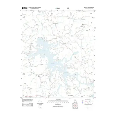
1966 Nottely Dam
Union County, GA
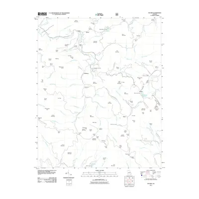
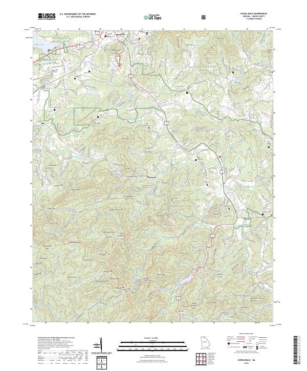
1988 Coosa Bald
Union County, GA
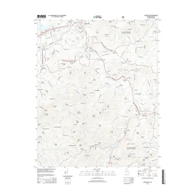
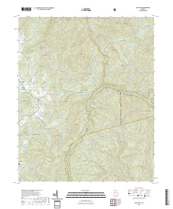
1988 Jacks Gap
Union County, GA
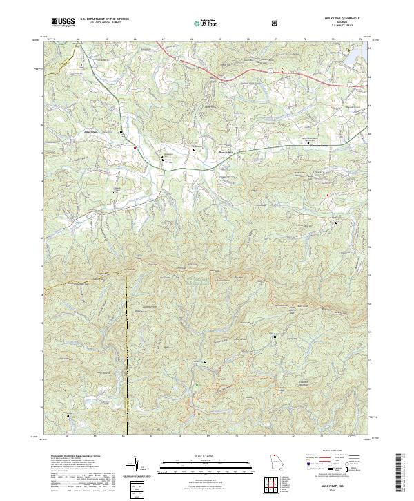
1988 Mulky Gap
Union County, GA
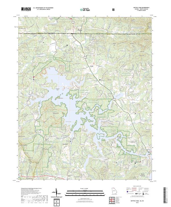
1988 Nottely Dam
Union County, GA
1988 Suches
Union County, GA
2011 Coosa Bald
Union County, GA
2011 Jacks Gap
Union County, GA
2011 Mulky Gap
Union County, GA
2011 Nottely Dam
Union County, GA
2011 Suches
Union County, GA
2014 Coosa Bald
Union County, GA
2014 Jacks Gap
Union County, GA
2014 Mulky Gap
Union County, GA
2014 Nottely Dam
Union County, GA
2014 Suches
Union County, GA
2017 Coosa Bald
Union County, GA
2017 Jacks Gap
Union County, GA
2017 Mulky Gap
Union County, GA
2017 Nottely Dam
Union County, GA
2017 Suches
Union County, GA
2020 Coosa Bald
Union County, GA
2020 Jacks Gap
Union County, GA
2020 Mulky Gap
Union County, GA
2020 Nottely Dam
Union County, GA
2020 Suches
Union County, GA
2024 Coosa Bald
Union County, GA
2024 Jacks Gap
Union County, GA
2024 Mulky Gap
Union County, GA
2024 Nottely Dam
Union County, GA
2024 Suches
Union County, GA