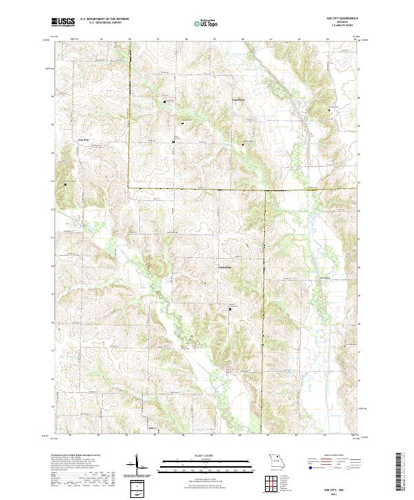
2021 Map of Sue City
USGS Topo · Published 2021About this map
Sue City and Nickellton anchor this rural landscape in northeastern Missouri, where the terrain is defined by the winding course of the North Fork Salt River. The area is a mosaic of family-named road networks and agricultural plots, punctuated by several small cemeteries that serve as vital touchstones for genealogical research, including Hazel Dell Cem and Eucebia Cem. The hydrology is dominated by the river and its tributaries like Saling Br and Twomile Cr, which dictated the early settlement patterns and the placement of crossings such as Rays Bridge.
Find a feature on this map
48 named features on this map. Tap any name to fly to it.
Don’t see what you’re looking for? This feature index may not catch every label — zoom into the map to look around manually.
Map Details
Editions of this 2021 Sue City Map
This is the sole edition of this map. No revisions or reprints were ever made.
Other maps of this area

1903 · Edina
USGS Topo · 1:125,000

1908 · Atlanta
USGS Topo · 1:62,500

1953 · Moberly
USGS Topo · 1:250,000

1954 · Centerville
USGS Topo · 1:250,000

1954 · Moberly
USGS Topo · 1:250,000

1957 · Moberly
USGS Topo · 1:250,000

1957 · Centerville
USGS Topo · 1:250,000

1958 · Centerville
USGS Topo · 1:250,000

1960 · Moberly
USGS Topo · 1:250,000
1963 · Leonard
USGS Topo · 1:24,000