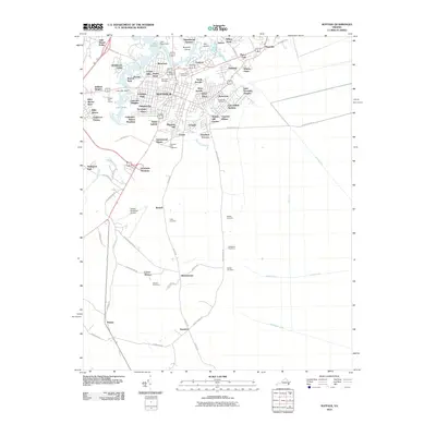
2010 Map of Suffolk
USGS Topo · Published 2010About this map
The city of Suffolk sits at the heart of this coastal Virginia landscape, where a dense network of residential neighborhoods like Saratoga Place and Rosemont meets the surrounding waterways and wetlands. The city's development is closely tied to its water management, evidenced by the Lake Mead Dam and Lake Kilby Dam which created significant reservoirs. To the south and east, the map transition into more agricultural and wooded land, defined by a complex system of drainage infrastructure including the Jericho Ditch and Washington Ditch. For local historians and genealogists, this map is a crucial resource for locating numerous burial grounds, such as Cedar Hill Cemetery near the city center and the more rural Whitehead Cemetery and Duke Cemetery found along Hosier Rd.
Find a feature on this map
91 named features on this map. Tap any name to fly to it.
Don’t see what you’re looking for? This feature index may not catch every label — zoom into the map to look around manually.
Map Details
Editions of this 2010 Suffolk Map
This is the sole edition of this map. No revisions or reprints were ever made.
Other maps of this area

1907 · Norfolk
USGS Topo · 1:125,000

1919 · Smithfield
USGS Topo · 1:62,500

1919 · Suffolk
USGS Topo · 1:62,500

1921 · Newport News
USGS Topo · 1:62,500

1940 · Lake Drummond
USGS Topo · 1:62,500

1944 · Windsor
USGS Topo · 1:31,680

1945 · Lake Drummond
USGS Topo · 1:62,500

1949 · Chuckatuck
USGS Topo · 1:24,000
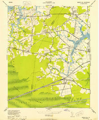
1952 · Bowers Hill
USGS Topo · 1:24,000

1953 · Norfolk
USGS Topo · 1:250,000