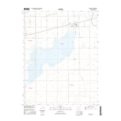
2016 Map of Sugar City
USGS Topo · Published 2016About this map
Lake Meredith dominates the central landscape of this Crowley County quadrangle, serving as a focal point for the region's complex water management system. The map captures the engineered hydrology necessary for High Plains agriculture, featuring the Sugar City Lateral, the Lake Meredith Inlet, and the E Ordway Lateral which distribute water across the arid terrain. The settlement of Sugar City is depicted with its grid of streets including Railroad Ave and W Buffalo Ave, situated just east of the Lakeview Cem. To the west, the edge of Ordway appears near the Ordway Town Reservoir. This 2016 survey illustrates how the local economy remains tied to irrigation and rail access, with the town footprints closely following the established tracks and ditch lines that have defined these communities for generations.
Find a feature on this map
39 named features on this map. Tap any name to fly to it.
Don’t see what you’re looking for? This feature index may not catch every label — zoom into the map to look around manually.
Map Details
Editions of this 2016 Sugar City Map
This is the sole edition of this map. No revisions or reprints were ever made.
Other maps of this area

1891 · Catlin
USGS Topo · 1:125,000

1893 · Catlin
USGS Topo · 1:125,000

1953 · Cheraw
USGS Topo · 1:24,000

1954 · Meredith Hill
USGS Topo · 1:24,000

1954 · Sugar City
USGS Topo · 1:24,000

1954 · Ordway
USGS Topo · 1:24,000

1954 · Manzanola
USGS Topo · 1:24,000

1954 · Lamar
USGS Topo · 1:250,000

1955 · Rocky Ford
USGS Topo · 1:24,000

1958 · Lamar
USGS Topo · 1:250,000