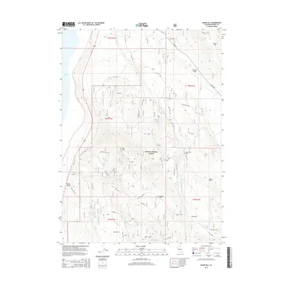
2015 Map of Sugar Hill
USGS Topo · Published 2015About this map
Sugar Hill dominates the central landscape of this Warner Mountains quadrangle, situated within the Modoc National Forest. The map documents a rugged high-altitude terrain characterized by numerous natural springs like Bonner Spring, Milk Spring, and Fender Flat Spring which feed into the Goose Lake basin to the west. Evidence of land use and industrial history is visible through features such as the Sugar Hill Pit and logging or transport routes like Zamboni Mill N and Zamboni. A complex network of Forest Service roads, including the Tri Motor Connecto and Trimotor, crisscrosses the flats and canyons, connecting isolated geographic landmarks like Cottonwood Flat and Harris Flat. The eastern portion of the sheet opens into the high valleys of Fandango Valley and Lower Bear Valley, where seasonal drainage systems like Willow Cr and Lassen Cr define the watershed patterns.
Find a feature on this map
53 named features on this map. Tap any name to fly to it.
Don’t see what you’re looking for? This feature index may not catch every label — zoom into the map to look around manually.
Map Details
Editions of this 2015 Sugar Hill Map
This is the sole edition of this map. No revisions or reprints were ever made.
Other maps of this area

1886 · Alturas
USGS Topo · 1:250,000

1892 · Alturas
USGS Topo · 1:250,000

1954 · Alturas
USGS Topo · 1:250,000

1958 · Alturas
USGS Topo · 1:250,000

1962 · Alturas
USGS Topo · 1:250,000

1962 · Davis Creek
USGS Topo · 1:62,500

1962 · Willow Ranch
USGS Topo · 1:62,500

1962 · Cedarville
USGS Topo · 1:62,500

1962 · Fort Bidwell
USGS Topo · 1:62,500

1965 · Alturas
USGS Topo · 1:250,000