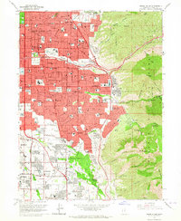
1963 Map of Sugar House
USGS Topo · Published 1964About this map
Sugar House and the southeastern reaches of Salt Lake City are captured here during a period of significant suburban expansion toward the Wasatch range. The map documents the established academic environment of Westminster College and the industrial footprint of the Brick Kilns near Sugar House Park. As residential development pushed east into East Millcreek and Holladay, the landscape transitioned from the urban grid to the winding roads of the foothills. This era is marked by the emergence of major retail hubs like the Cottonwood Mall Shopping Center and Victoria Park Shopping Center, which began to define the modern commercial character of the area. Along the eastern edge, the protected slopes of the Wasatch National Forest rise sharply, with landmarks like Grandeur Peak and Mt Olympus overlooking the growing valley settlements.
Find a feature on this map
93 named features on this map. Tap any name to fly to it.
Don’t see what you’re looking for? This feature index may not catch every label — zoom into the map to look around manually.
Map Details
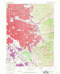
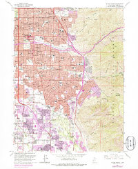
Editions of this 1963 Sugar House Map
3 editions found
Other maps of this area

1885 · Salt Lake
USGS Topo · 1:250,000

1925 · Ft. Douglas
USGS Topo · 1:125,000

1928 · Ft. Douglas
USGS Topo · 1:125,000

1950 · Fort Douglas
USGS Topo · 1:24,000

1951 · Fort Douglas
USGS Topo · 1:24,000

1951 · Salt Lake City South
USGS Topo · 1:24,000

1951 · Midvale
USGS Topo · 1:24,000

1951 · Salt Lake City North
USGS Topo · 1:24,000

1952 · Sugar House
USGS Topo · 1:24,000
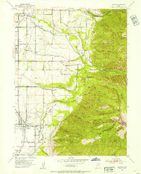
1952 · Draper
USGS Topo · 1:24,000