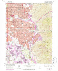
1963 Map of Sugar House
USGS Topo · Published 1978About this map
The southeastern edge of Salt Lake City is captured here as postwar suburban expansion meets the dramatic rises of the Wasatch National Forest. Notable landmarks such as Westminster College and Sugar House Park anchor the urban grid, while the map's purple-tinted photorevised areas track the rapid growth of mid-century residential neighborhoods into East Millcreek and Holladay. This map illustrates the transition from the city's historic core to the sprawling foothills, where developments begin to flank the mouths of Parleys Creek and Mill Creek. Institutional and recreational sites like the Hogle Zoological Gardens, Pioneer Monument State Park, and several golf courses highlight the valley's cultural development during this era. Meanwhile, the steep topography of Grandeur Peak and Mt Olympus stands in sharp contrast to the densely packed streets and shopping centers like the Cottonwood Mall Shopping Center in the valley below.
Find a feature on this map
92 named features on this map. Tap any name to fly to it.
Don’t see what you’re looking for? This feature index may not catch every label — zoom into the map to look around manually.
Map Details
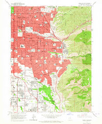
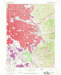
Editions of this 1963 Sugar House Map
3 editions found
Other maps of this area

1885 · Salt Lake
USGS Topo · 1:250,000

1925 · Ft. Douglas
USGS Topo · 1:125,000

1928 · Ft. Douglas
USGS Topo · 1:125,000

1950 · Fort Douglas
USGS Topo · 1:24,000

1951 · Fort Douglas
USGS Topo · 1:24,000

1951 · Salt Lake City South
USGS Topo · 1:24,000

1951 · Midvale
USGS Topo · 1:24,000

1951 · Salt Lake City North
USGS Topo · 1:24,000

1952 · Sugar House
USGS Topo · 1:24,000
1952 · Draper
USGS Topo · 1:24,000