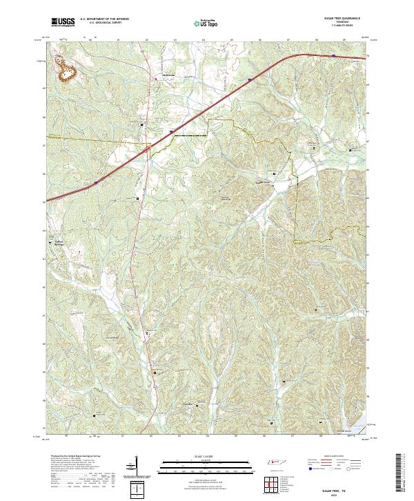
2022 Map of Sugar Tree
USGS Topo · Published 2022About this map
Sugar Tree and the surrounding hollows of Decatur and Benton counties define this landscape, where the ridge-and-valley topography dictates the placement of long-standing communities. Settled areas like Mcllwain and Cozette are connected by a network of winding county roads, many bearing family names that reflect the genealogical depth of the region. The map shows a high concentration of small family and community burial grounds, such as Bawcum Cem, Old Morgans Creek Cem, and Hartley Cem, often located near rural worship centers like Suttles Chapel or Oak Grove Church.
Find a feature on this map
106 named features on this map. Tap any name to fly to it.
Don’t see what you’re looking for? This feature index may not catch every label — zoom into the map to look around manually.
Map Details
Editions of this 2022 Sugar Tree Map
This is the sole edition of this map. No revisions or reprints were ever made.
Other maps of this area
1936 · Pine View
USGS Topo · 1:24,000
1936 · Parsons
USGS Topo · 1:24,000
1936 · Seventeen Creek
USGS Topo · 1:24,000
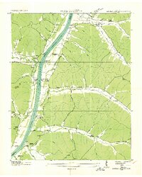
1936 · Daniels Landing
USGS Topo · 1:24,000
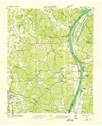
1936 · Jeannette
USGS Topo · 1:24,000
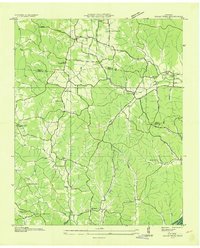
1936 · Sugar Tree
USGS Topo · 1:24,000
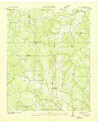
1936 · Cavvia
USGS Topo · 1:24,000
1936 · Rockport
USGS Topo · 1:24,000
1936 · Hustburg
USGS Topo · 1:24,000
1949 · Daniels Landing
USGS Topo · 1:24,000