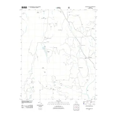
2011 Map of Sugar Valley
USGS Topo · Published 2011About this map
Horn Mountain and Johns Mountain dominate this section of Gordon County, framing a landscape where recreation and rural settlement meet. The topography is defined by prominent gaps and bends, such as Calhoun Gap and the sharp turn of the Oostanaula River at Hunt Bend. This area serves as a significant hub for outdoor camps and public lands, featuring the Lake Marvin Girl Scout Camp, Camp Sidney Dew, and the Hidden Creek Recreation Area.
Find a feature on this map
42 named features on this map. Tap any name to fly to it.
Don’t see what you’re looking for? This feature index may not catch every label — zoom into the map to look around manually.
Map Details
Editions of this 2011 Sugar Valley Map
This is the sole edition of this map. No revisions or reprints were ever made.
Other maps of this area

1886 · Dalton
USGS Topo · 1:125,000

1886 · Ringgold
USGS Topo · 1:125,000

1886 · Rome
USGS Topo · 1:125,000

1890 · Cartersville
USGS Topo · 1:125,000

1891 · Cartersville
USGS Topo · 1:125,000

1892 · Ringgold
USGS Topo · 1:125,000

1892 · Dalton
USGS Topo · 1:125,000

1896 · Cartersville
USGS Topo · 1:125,000

1897 · Dalton
USGS Topo · 1:125,000

1898 · Rome
USGS Topo · 1:125,000