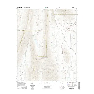
2014 Map of Sugar Valley
USGS Topo · Published 2014About this map
Johns Mountain Lookout Tower stands as a prominent landmark overlooking a landscape defined by sharp ridges and deep valleys within the Chattahoochee National Forest. This 2014 survey documents the complex topography where Horn Mtn and Johns Mtn dominate the western horizon, shielding the secluded basin known as The Pocket. To the east, the community of Sugar Valley serves as a local hub, situated near the winding course of Snake Cr.
Find a feature on this map
61 named features on this map. Tap any name to fly to it.
Don’t see what you’re looking for? This feature index may not catch every label — zoom into the map to look around manually.
Map Details
Editions of this 2014 Sugar Valley Map
This is the sole edition of this map. No revisions or reprints were ever made.
Other maps of this area

1886 · Dalton
USGS Topo · 1:125,000

1886 · Ringgold
USGS Topo · 1:125,000

1886 · Rome
USGS Topo · 1:125,000

1890 · Cartersville
USGS Topo · 1:125,000

1891 · Cartersville
USGS Topo · 1:125,000

1892 · Ringgold
USGS Topo · 1:125,000

1892 · Dalton
USGS Topo · 1:125,000

1896 · Cartersville
USGS Topo · 1:125,000

1897 · Dalton
USGS Topo · 1:125,000

1898 · Rome
USGS Topo · 1:125,000