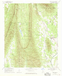
1967 Map of Sugar Valley
USGS Topo · Published 1970About this map
Horn Mountain and Johns Mountain dominate the topography of this northwest Georgia landscape, forming part of the Chattahoochee National Forest. The ridgelines create natural barriers broken by high passes like Calhoun Gap and Pocket Gap, while the lowlands to the east facilitate travel and industry. The Southern Railway corridor anchors the settlements of Sugar Valley and Hill City, where the local economy of the late 1960s is evidenced by several Clay and Gravel Pits and the presence of the Sugar Valley School. To the west, the rugged forest land is managed for recreation, featuring the Keown Falls Recreation Area and Lake Marvin. Notable cultural landmarks include the Johns Mountain Lookout Tower and a network of rural faith centers such as Friendship Church and Mt Tabor Church, serving the agricultural valley before it reaches the Oostanaula River.
Find a feature on this map
51 named features on this map. Tap any name to fly to it.
Don’t see what you’re looking for? This feature index may not catch every label — zoom into the map to look around manually.
Map Details
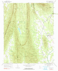
Editions of this 1967 Sugar Valley Map
2 editions found
Other maps of this area

1886 · Dalton
USGS Topo · 1:125,000

1886 · Ringgold
USGS Topo · 1:125,000

1886 · Rome
USGS Topo · 1:125,000

1890 · Cartersville
USGS Topo · 1:125,000

1891 · Cartersville
USGS Topo · 1:125,000

1892 · Ringgold
USGS Topo · 1:125,000

1892 · Dalton
USGS Topo · 1:125,000

1896 · Cartersville
USGS Topo · 1:125,000

1897 · Dalton
USGS Topo · 1:125,000

1898 · Rome
USGS Topo · 1:125,000