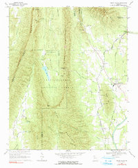
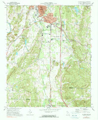
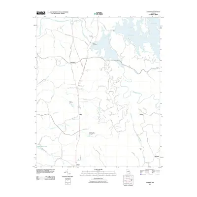
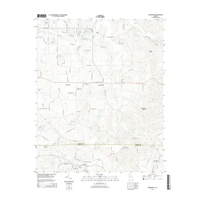
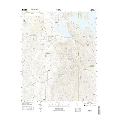
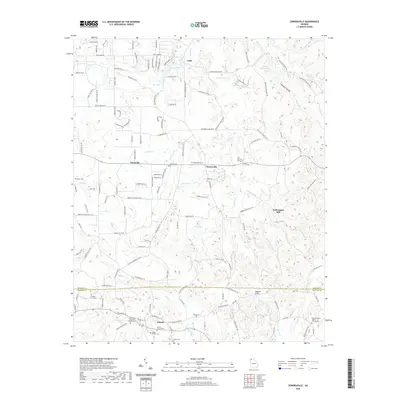
1967 Map of Sugar Valley
USGS Topo · Published 1991About this map
The Southern railroad line runs along the eastern valley floor, serving as a primary transit corridor for the community of Sugar Valley and the smaller settlement of Hill City. This 1967 landscape is defined by the sharp topographical contrast between the agricultural lowlands of the Oostanaula River basin and the steep ridges of Johns Mountain and Horn Mountain. Within the Chattahoochee National Forest, many recreational and family sites are documented, including the Pocket Recreation Area and Lake Marvin. Local history and genealogy are anchored by numerous country churches and cemeteries, such as Friendship Ch and Herington Cem, while the industrial activity of the era is evidenced by several Clay and Gravel Pits located near the base of Baugh Mtn.
Find a feature on this map
54 named features on this map. Tap any name to fly to it.
Don’t see what you’re looking for? This feature index may not catch every label — zoom into the map to look around manually.
Map Details
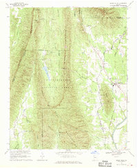
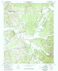
Editions of this 1967 Sugar Valley Map
2 editions found
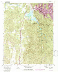
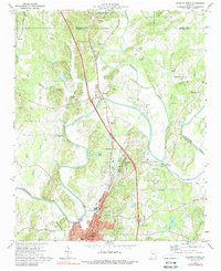
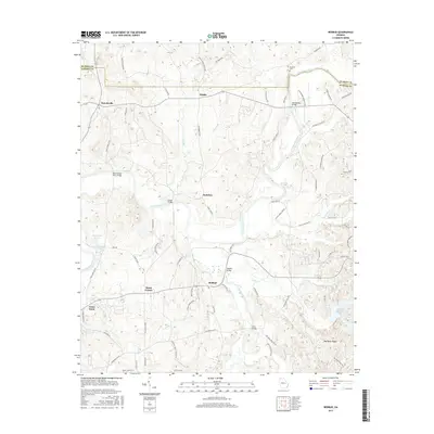
Historical Maps of Hill City Through Time
36 maps found
1967 Sugar Valley
Gordon County, GA
1971 Oakman
Gordon County, GA
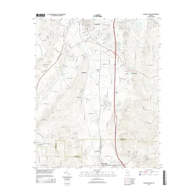
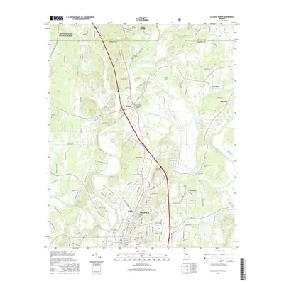
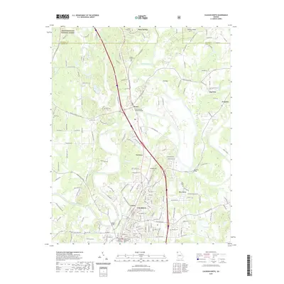
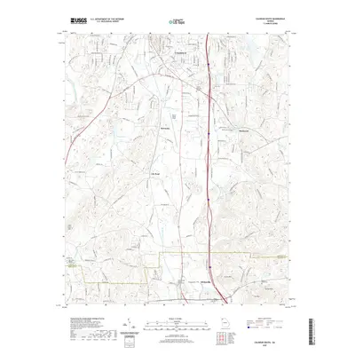
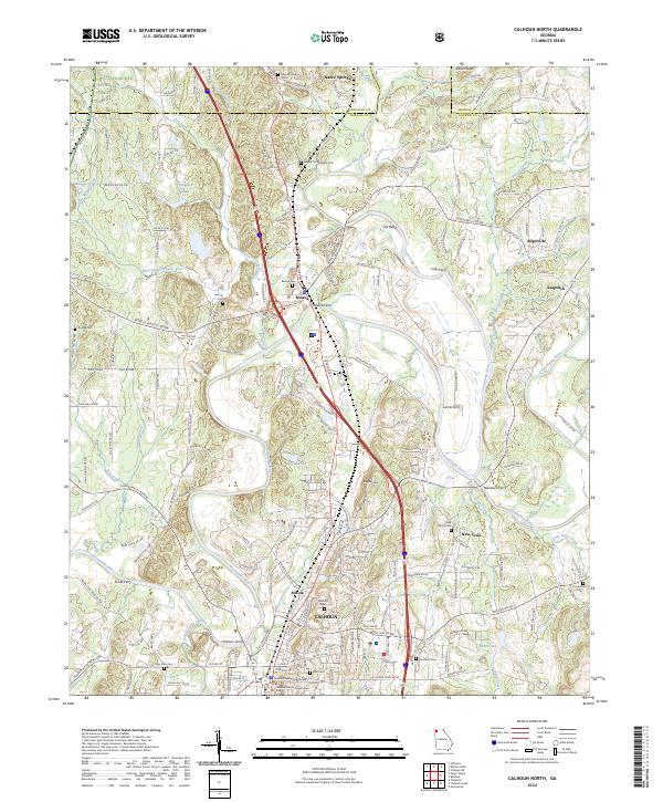
1972 Calhoun North
Gordon County, GA
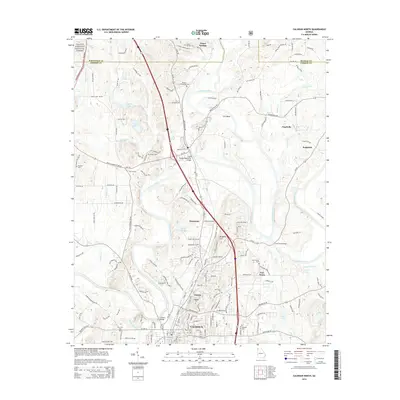
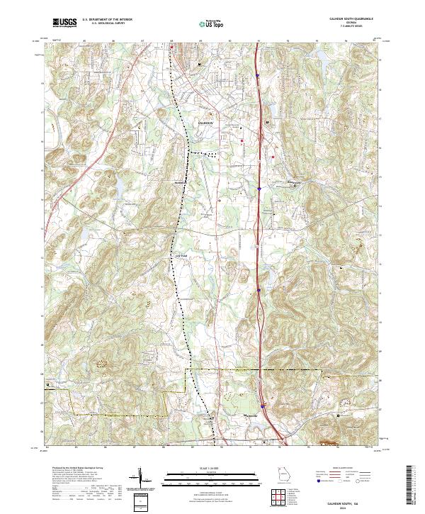
1972 Calhoun South
Gordon County, GA
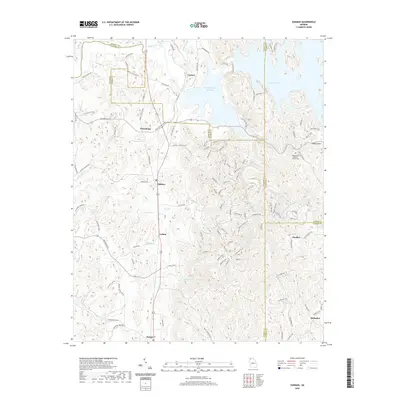
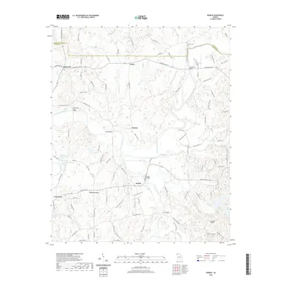
1972 Redbud
Gordon County, GA
1972 Sonoraville
Gordon County, GA
2011 Calhoun North
Gordon County, GA

2011 Calhoun South
Gordon County, GA
2011 Oakman
Gordon County, GA
2011 Redbud
Gordon County, GA
2011 Sonoraville
Gordon County, GA
2011 Sugar Valley
Gordon County, GA
2014 Calhoun North
Gordon County, GA
2014 Calhoun South
Gordon County, GA
2014 Oakman
Gordon County, GA
2014 Redbud
Gordon County, GA
2014 Sonoraville
Gordon County, GA
2014 Sugar Valley
Gordon County, GA
2017 Calhoun North
Gordon County, GA
2017 Calhoun South
Gordon County, GA
2017 Oakman
Gordon County, GA
2017 Redbud
Gordon County, GA
2017 Sonoraville
Gordon County, GA
2017 Sugar Valley
Gordon County, GA
2020 Calhoun North
Gordon County, GA
2020 Calhoun South
Gordon County, GA
2020 Oakman
Gordon County, GA
2020 Redbud
Gordon County, GA
2020 Sonoraville
Gordon County, GA
2020 Sugar Valley
Gordon County, GA
2024 Calhoun North
Gordon County, GA
2024 Calhoun South
Gordon County, GA
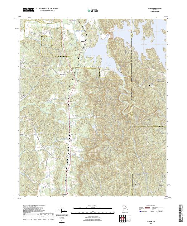
2024 Oakman
Gordon County, GA
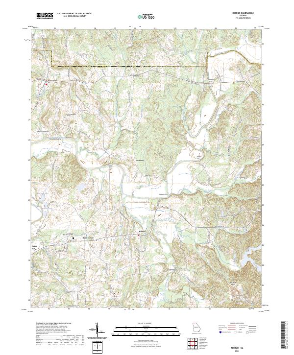
2024 Redbud
Gordon County, GA
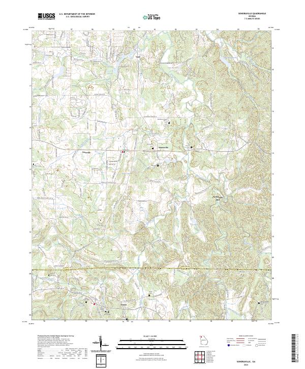
2024 Sonoraville
Gordon County, GA
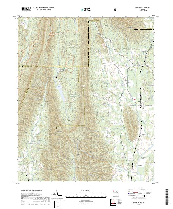
2024 Sugar Valley
Gordon County, GA