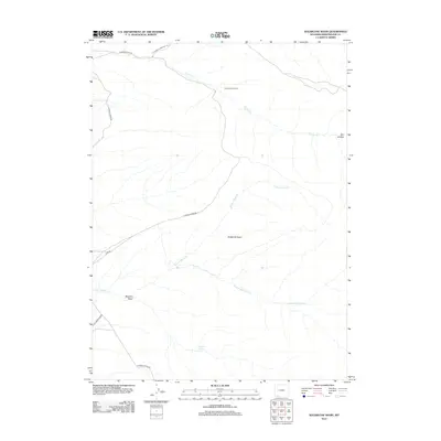
2012 Map of Sugarloaf Basin
USGS Topo · Published 2012About this map
Currant Creek Ranch occupies a central position within this drainage network, situated where the high desert terrain meets the seasonal flow of Currant Cr. This 2012 survey illustrates a landscape of intermittent water and arid landforms, characterized by the broad Sugarloaf Basin and the winding course of Upper Marsh Cr. The importance of water in this Sweetwater County environment is underscored by the presence of Washam Spring and the topographical depression of Washam Wash. Access to this high-country basin is facilitated primarily by Flaming Gorge Rd, which cuts through the western section of the map, and the secondary Co Rd 33. The map documents the persistent nature of ranching and remote land use in this part of Wyoming, where livestock and wildlife rely on these specific, named water sources and draws like Sugarloaf Marsh Cr.
Find a feature on this map
12 named features on this map. Tap any name to fly to it.
Don’t see what you’re looking for? This feature index may not catch every label — zoom into the map to look around manually.
Map Details
Editions of this 2012 Sugarloaf Basin Map
This is the sole edition of this map. No revisions or reprints were ever made.
Other maps of this area

1954 · Rock Springs
USGS Topo · 1:250,000

1957 · Currant Creek Ranch
USGS Topo · 1:62,500

1957 · Mc Kinnon Junction
USGS Topo · 1:62,500

1957 · Firehole Basin
USGS Topo · 1:62,500

1958 · Rock Springs
USGS Topo · 1:250,000

1962 · Rock Springs
USGS Topo · 1:250,000

1966 · Firehole Basin
USGS Topo · 1:62,500

1966 · Mc Kinnon Junction
USGS Topo · 1:62,500

1966 · Buckboard Crossing
USGS Topo · 1:62,500

1966 · Currant Creek Ranch
USGS Topo · 1:62,500