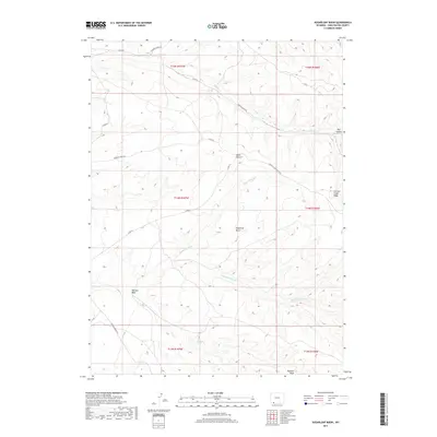
2017 Map of Sugarloaf Basin
USGS Topo · Published 2017About this map
Sugarloaf Basin defines the central topography of this Sweetwater County landscape, where an intricate network of intermittent drainages carves through the high desert terrain. The drainage patterns of Upper Marsh Creek and Sugarloaf Marsh Creek reveal a complex hydrologic system that eventually reaches Washam Wash. Human passage through this arid environment is marked by early routes like Flaming Gorge Road and Currant Creek Road, which skirt significant landforms such as Currant Creek Ridge and Lowe Canyon.
Find a feature on this map
20 named features on this map. Tap any name to fly to it.
Don’t see what you’re looking for? This feature index may not catch every label — zoom into the map to look around manually.
Map Details
Editions of this 2017 Sugarloaf Basin Map
This is the sole edition of this map. No revisions or reprints were ever made.
Other maps of this area

1954 · Rock Springs
USGS Topo · 1:250,000

1957 · Currant Creek Ranch
USGS Topo · 1:62,500

1957 · Mc Kinnon Junction
USGS Topo · 1:62,500

1957 · Firehole Basin
USGS Topo · 1:62,500

1958 · Rock Springs
USGS Topo · 1:250,000

1962 · Rock Springs
USGS Topo · 1:250,000

1966 · Firehole Basin
USGS Topo · 1:62,500

1966 · Mc Kinnon Junction
USGS Topo · 1:62,500

1966 · Buckboard Crossing
USGS Topo · 1:62,500

1966 · Currant Creek Ranch
USGS Topo · 1:62,500