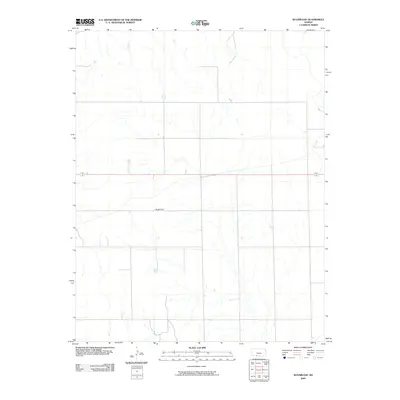
2009 Map of Sugarloaf
USGS Topo · Published 2009About this map
Sugarloaf serves as the namesake landmark and central reference point for this portion of Comanche County. The landscape is defined by the high plains of southwestern Kansas, where a sparse network of section-line roads and intermittent drainage patterns shape the rural layout. Outside of the primary elevation at Sugarloaf, the terrain is relatively open, typical of the shortgrass prairie region before it transitions into more broken country to the south. The 2009 survey by the U.S. Geological Survey indicates a quiet, agricultural character where the vast majority of the land is dedicated to ranching and dryland farming, with human settlement concentrated around a few scattered farmsteads and the primary roadway traversing the northern section.
Find a feature on this map
2 named features on this map. Tap any name to fly to it.
Don’t see what you’re looking for? This feature index may not catch every label — zoom into the map to look around manually.
Map Details
Editions of this 2009 Sugarloaf Map
This is the sole edition of this map. No revisions or reprints were ever made.
Other maps of this area

1892 · Coldwater
USGS Topo · 1:125,000

1894 · Sitka
USGS Topo · 1:62,500

1896 · Ashland
USGS Topo · 1:125,000

1955 · Pratt
USGS Topo · 1:250,000

1959 · Pratt
USGS Topo · 1:250,000

1979 · Sitka
USGS Topo · 1:24,000

1979 · Sugarloaf
USGS Topo · 1:24,000

1979 · East Kiowa Creek South
USGS Topo · 1:24,000
1979 · Sitka SW
USGS Topo · 1:24,000
1979 · Lexington
USGS Topo · 1:24,000