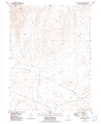
1981 Map of Sugarloaf Knob
USGS Topo · Published 1991About this map
Sugarloaf Knob rises above a desert landscape shaped by resource extraction and transportation in the early 1980s. The Western Pacific railroad cuts through the southern portion of this Humboldt County terrain, providing the primary artery for the region. Small-scale industrial activity is evident near the northwestern slopes where a Mine and several Prospects are recorded, hinting at the area's geological potential.
Find a feature on this map
18 named features on this map. Tap any name to fly to it.
Don’t see what you’re looking for? This feature index may not catch every label — zoom into the map to look around manually.
Map Details
Editions of this 1981 Sugarloaf Knob Map
2 editions found
Other maps of this area

1886 · Disaster
USGS Topo · 1:250,000

1893 · Disaster
USGS Topo · 1:250,000

1931 · Lovelock
USGS Topo · 1:250,000

1935 · Lovelock
USGS Topo · 1:250,000

1954 · Vya
USGS Topo · 1:250,000

1955 · Lovelock
USGS Topo · 1:250,000

1958 · Vya
USGS Topo · 1:250,000

1959 · Lovelock
USGS Topo · 1:250,000

1962 · Vya
USGS Topo · 1:250,000

1966 · Donna Schee Peak
USGS Topo · 1:62,500