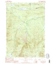
1989 Map of Sugarloaf Mtn
USGS Topo · Published 1989About this map
Sugarloaf Mtn and the surrounding high peaks of the Longfellow Mountains define this late 20th-century landscape in Franklin County. The topography is dominated by massive massifs including Mt Abraham, Spaulding Mountain, and Crocker Mtn, all linked by the Appalachian National Scenic Trail as it winds through Caribou Valley. The northern edge of the map follows the developed corridor near Stratton, where Stratton Brook Pond and the Carrabassett River provide a contrast to the steep elevations.
Find a feature on this map
35 named features on this map. Tap any name to fly to it.
Don’t see what you’re looking for? This feature index may not catch every label — zoom into the map to look around manually.
Map Details
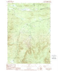
Editions of this 1989 Sugarloaf Mtn Map
2 editions found
Other maps of this area

1928 · Dead River
USGS Topo · 1:62,500

1928 · Stratton
USGS Topo · 1:48,000

1929 · Phillips
USGS Topo · 1:48,000

1930 · Kingfield
USGS Topo · 1:48,000

1931 · Dead River
USGS Topo · 1:48,000

1932 · Phillips
USGS Topo · 1:62,500

1932 · Stratton
USGS Topo · 1:62,500

1932 · Kingfield
USGS Topo · 1:62,500

1944 · Dead River
USGS Topo · 1:62,500

1949 · Jackman
USGS Topo · 1:250,000
Featured Places
- Kingfield, ME
- Carrabassett Valley, ME
- Wyman Township, ME
- Dead River Township, ME
- Mount Abram Township, ME