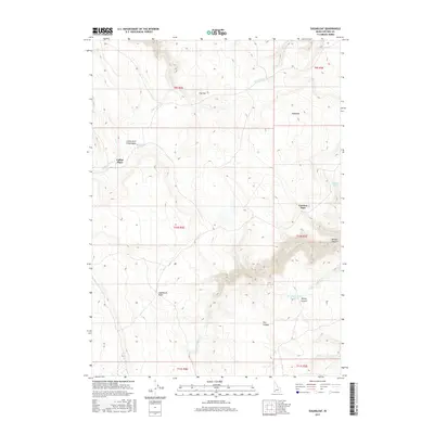
2017 Map of Sugarloaf
USGS Topo · Published 2017About this map
Collier Place stands as a focal point in this high-desert Owyhee County landscape, situated near the western edge of the Little Jacks Creek Basin. The terrain is defined by a complex network of canyons and drainage systems, including the prominent Little Jacks Cr and Big Jacks Cr. Water remains the most critical resource for this arid environment, evidenced by the scattered development of Buckaroo Spring, Conners Spring, and the Harveys Canyon Reservoir. The drainage patterns suggest a landscape shaped by seasonal runoff, where topographical landmarks like Sugarloaf, The Hat, and the aptly named Comical Turn served as essential navigation aids for travelers and ranchers. Deep incisions like Willies Canyon and Dry Canyon illustrate the erosive forces at work in the sagebrush-covered plains and high plateaus.
Find a feature on this map
24 named features on this map. Tap any name to fly to it.
Don’t see what you’re looking for? This feature index may not catch every label — zoom into the map to look around manually.
Map Details
Editions of this 2017 Sugarloaf Map
This is the sole edition of this map. No revisions or reprints were ever made.
Other maps of this area

1955 · Jordan Valley
USGS Topo · 1:250,000

1957 · Jordan Valley
USGS Topo · 1:250,000

1958 · Jordan Valley
USGS Topo · 1:250,000
1972 · Hill Pasture
USGS Topo · 1:24,000

1972 · Wickahoney Point
USGS Topo · 1:24,000
1972 · Crab Spring Butte
USGS Topo · 1:24,000

1972 · Turner Table
USGS Topo · 1:24,000
1972 · Big Horse Basin Gap
USGS Topo · 1:24,000
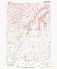
1972 · Snow Creek
USGS Topo · 1:24,000
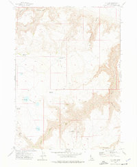
1972 · O X Lake
USGS Topo · 1:24,000