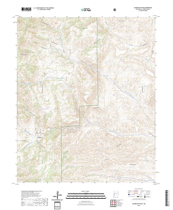
2023 Map of Sugarloaf Peak
USGS Topo · Published 2023About this map
Hermosa sits at the junction of Morgan Creek and the South Fork Palomas Creek in this remote stretch of Sierra County. As a primary point of interest for local historians, the settlement is anchored by the Hermosa Cem, reflecting the area's residency within the Gila National Forest. The landscape is defined by an intricate network of drainage systems, including Wagonbed Canyon and Hickland Canyon, which cut through the high terrain of Sugarloaf Peak and Brushy Mtn.
Find a feature on this map
55 named features on this map. Tap any name to fly to it.
Don’t see what you’re looking for? This feature index may not catch every label — zoom into the map to look around manually.
Map Details
Editions of this 2023 Sugarloaf Peak Map
This is the sole edition of this map. No revisions or reprints were ever made.
Other maps of this area

1949 · Lookout Mountain
USGS Topo · 1:62,500

1954 · Tularosa
USGS Topo · 1:250,000

1958 · Tularosa
USGS Topo · 1:250,000

1963 · Bell Mountain
USGS Topo · 1:24,000

1963 · Thumb Tank Peak
USGS Topo · 1:24,000

1963 · Reeds Peak
USGS Topo · 1:24,000

1963 · Sugarloaf Peak
USGS Topo · 1:24,000

1963 · Victoria Park
USGS Topo · 1:24,000

1963 · Apache Peak
USGS Topo · 1:24,000

1965 · Winston
USGS Topo · 1:24,000