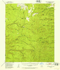
1949 Map of Lookout Mountain
USGS Topo · Published 1953About this map
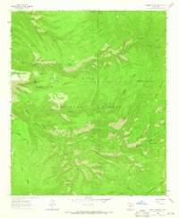
The Continental Divide traverses this high-country landscape in the Gila National Forest, marking the boundary between the Catron Co and Sierra Co lines. The area is defined by a series of inactive mining operations, including the North Star Mine, Little Wonder Mine, and the Silver Monument Mine, concentrated in the eastern drainages of Chloride Creek. These sites reflect an era of hard-rock prospecting and extraction that once drove the local economy.
Find a feature on this map
85 named features on this map. Tap any name to fly to it.
Don’t see what you’re looking for? This feature index may not catch every label — zoom into the map to look around manually.
Map Details
Editions of this 1949 Lookout Mountain Map
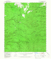
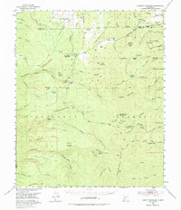
Other maps of this area

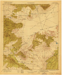
1911 · Alum Mountain
USGS Topo · 1:125,000

1913 · Alum Mountain
USGS Topo · 1:125,000
1918 · Pelona
USGS Topo · 1:125,000

1954 · Tularosa
USGS Topo · 1:250,000

1954 · Clifton
USGS Topo · 1:250,000

1957 · Clifton
USGS Topo · 1:250,000

1958 · Clifton
USGS Topo · 1:250,000

1958 · Tularosa
USGS Topo · 1:250,000

1962 · Clifton
USGS Topo · 1:250,000
1963 · Bonner Canyon
USGS Topo · 1:24,000