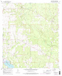
1961 Map of Sugartown
USGS Topo · Published 1976About this map
Sugartown serves as the primary hub of this Beauregard Parish landscape, characterized by a complex network of waterways feeding into the Whisky Chitto Creek and the southern waters of Bundick Lake. This 1961 survey, later photorevised, documents the transition of the timber and transport economy through the presence of an Old Railroad Grade that winds through the drainage basins of Jumping Gully and Sheep Gully.
Find a feature on this map
30 named features on this map. Tap any name to fly to it.
Don’t see what you’re looking for? This feature index may not catch every label — zoom into the map to look around manually.
Map Details
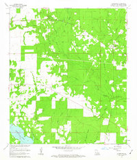
Editions of this 1961 Sugartown Map
2 editions found
Other maps of this area

1935 · Mittie
USGS Topo · 1:31,680

1947 · Ikes
USGS Topo · 1:31,680

1947 · Chasmore
USGS Topo · 1:31,680

1947 · Grant
USGS Topo · 1:31,680

1947 · Bundick
USGS Topo · 1:31,680

1947 · Sugartown
USGS Topo · 1:31,680

1947 · Bannister
USGS Topo · 1:31,680

1947 · Sugrue
USGS Topo · 1:31,680

1947 · Pitkin
USGS Topo · 1:31,680

1948 · Grant
USGS Topo · 1:24,000